



WEST PALM BEACH, Fla. — Off and on downpours and thunderstorms will continue overnight, with breezy onshore winds and temps in the mid 70s.
Breezy conditions will continue Thursday, keeping coastal hazards around all day. Another round of scattered showers and thunderstorms will develop alongside continued rough beach and boating conditions, keeping rip current risks elevated due to persistent onshore flow.
MORE WEATHER: Radar | Alerts | 7-Day Forecast | Hourly Forecast
Breezy conditions will continue Thursday. Another round of scattered showers and thunderstorms will develop in the morning alongside continued rough beach and boating conditions, keeping rip current risks elevated due to persistent onshore flow.
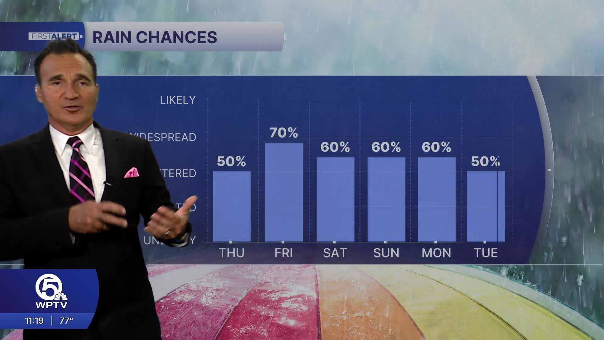
The weekend outlook looks very unsettled as an upper level system moves over us, keeping high rain chances in the forecast, along with heavy rain potential and a low threat for stronger storms.
While the weekend won't be a complete washout, storms can produce sudden downpours, frequent lightning, and brief gusty winds that require flexible outdoor planning.
Overall, today marks the peak of this windy weather pattern, with conditions gradually improving but remaining active through the weekend as more familiar summer storm patterns return to the region.
*Portions of this story were assisted by artificial intelligence tools and reviewed by a WPTV journalist to ensure accuracy, clarity, and adherence to editorial standards.


