


WEST PALM BEACH, Fla. — Temperatures will stay in the low 70s for the first half of the evening with overnight lows dropping into the low and mid 60s for most.
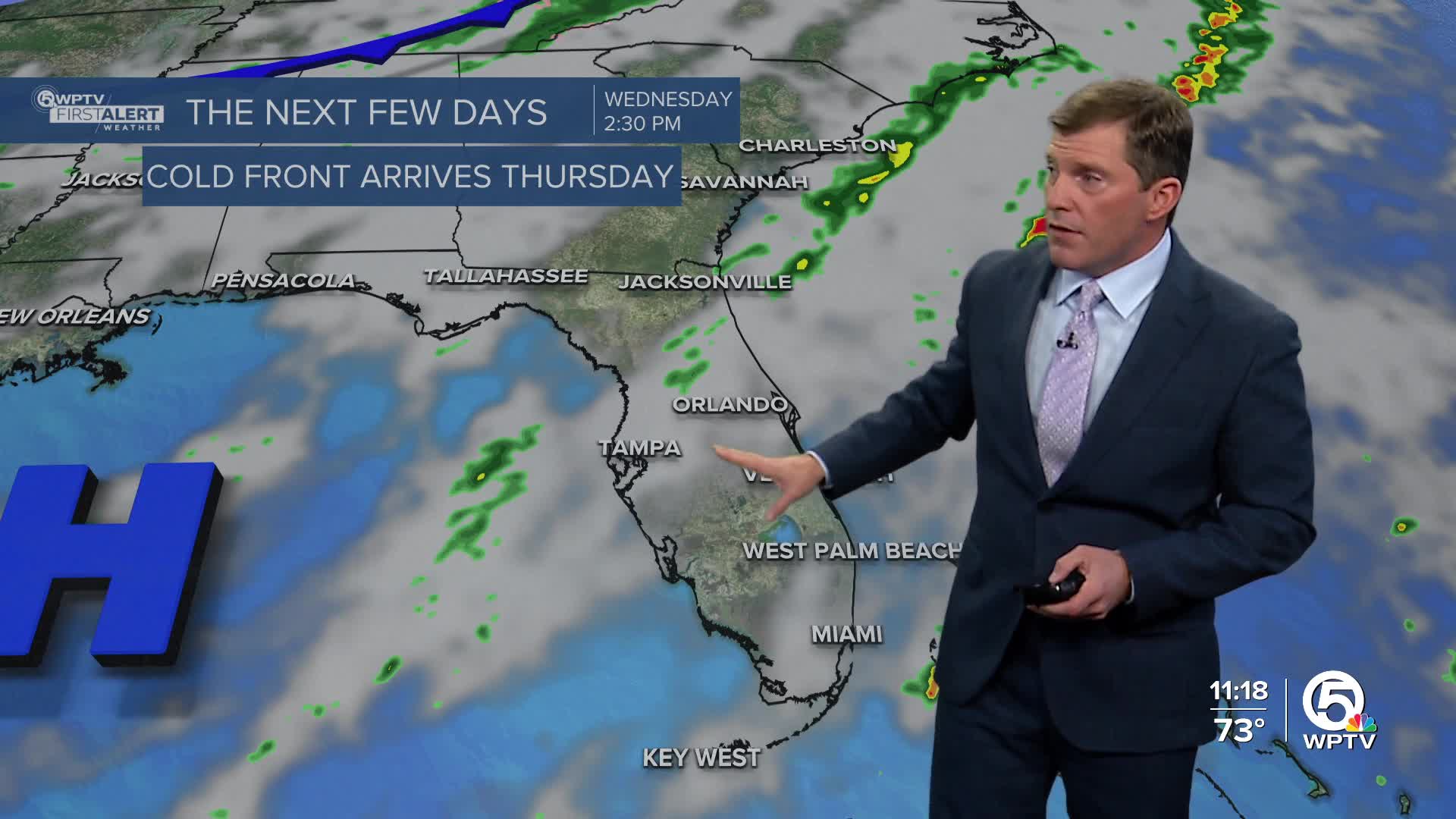
A cloudier and cooler trend continues through the middle half of the week before we see another change in the weather pattern as a more potent cold front arrives.
MORE WEATHER: Radar | Alerts | 7-Day Forecast | Hourly Forecast
Winds will start to turn out of the north, creating hazardous conditions for our waters.
A high risk for rip currents is in effect for the Palm Beaches, and a small craft advisory for the surrounding coastal waters through Tuesday as seas build to 6 to 9 feet.
Spotty showers will first move in on Wednesday with slightly higher rain chances on Thursday. The newest weather models are showing a little less rain, with most totals under 0.5", but even colder temperatures. Thursday will also be very windy with occasional gusts near 30 mph.
The northwesterly winds will usher in a much colder airmass overnight.
Some inland areas could see lows in the mid 30s Friday morning, but most of the coast will be in the lower-mid 40s. We will update you with any frost advisories or watches issued as it gets closer.
Wind chill values could drop into the upper 20s for far inland locations.
Saturday will start quite chilly - but will warm into the mid and even upper 60s for some. Another cold front looks to bring more reinforcing cold air Sunday into Monday.


