


WEST PALM BEACH, Fla. — A stalled front near South Florida, that has brought us more cloud cover and passing showers today, is slowly lifting north.
As the system pulls away, isolated rain chances stay in place through Saturday with a gradual warming trend.
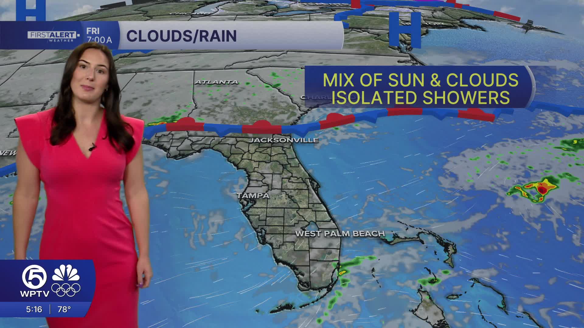
Tonight will be partly to mostly cloudy and mild. Lows will range in the lower 60s inland and in the Treasure Coast while the Palm Beaches can expect the mid-upper 60s. Friday's forecast features a mix of sun and clouds, isolated showers, and highs near 80.
MORE WEATHER: Radar | Alerts | 7-Day Forecast | Hourly Forecast
Highs over the weekend could reach the mid 80s, while coastal areas stay a few degrees cooler thanks to onshore breezes.
A high risk of rip currents continues at all east coast beaches, so swimmers and boaters should use extra caution in the ocean.
Another cold front approaches Monday, kicking off another round of cool weather next week. That front looks to bring spotty showers Monday and cooler-than-normal temperatures on Tuesday.
**Portions of this story were assisted by artificial intelligence tools and reviewed by a WPTV journalist to ensure accuracy, clarity, and adherence to editorial standards.


