
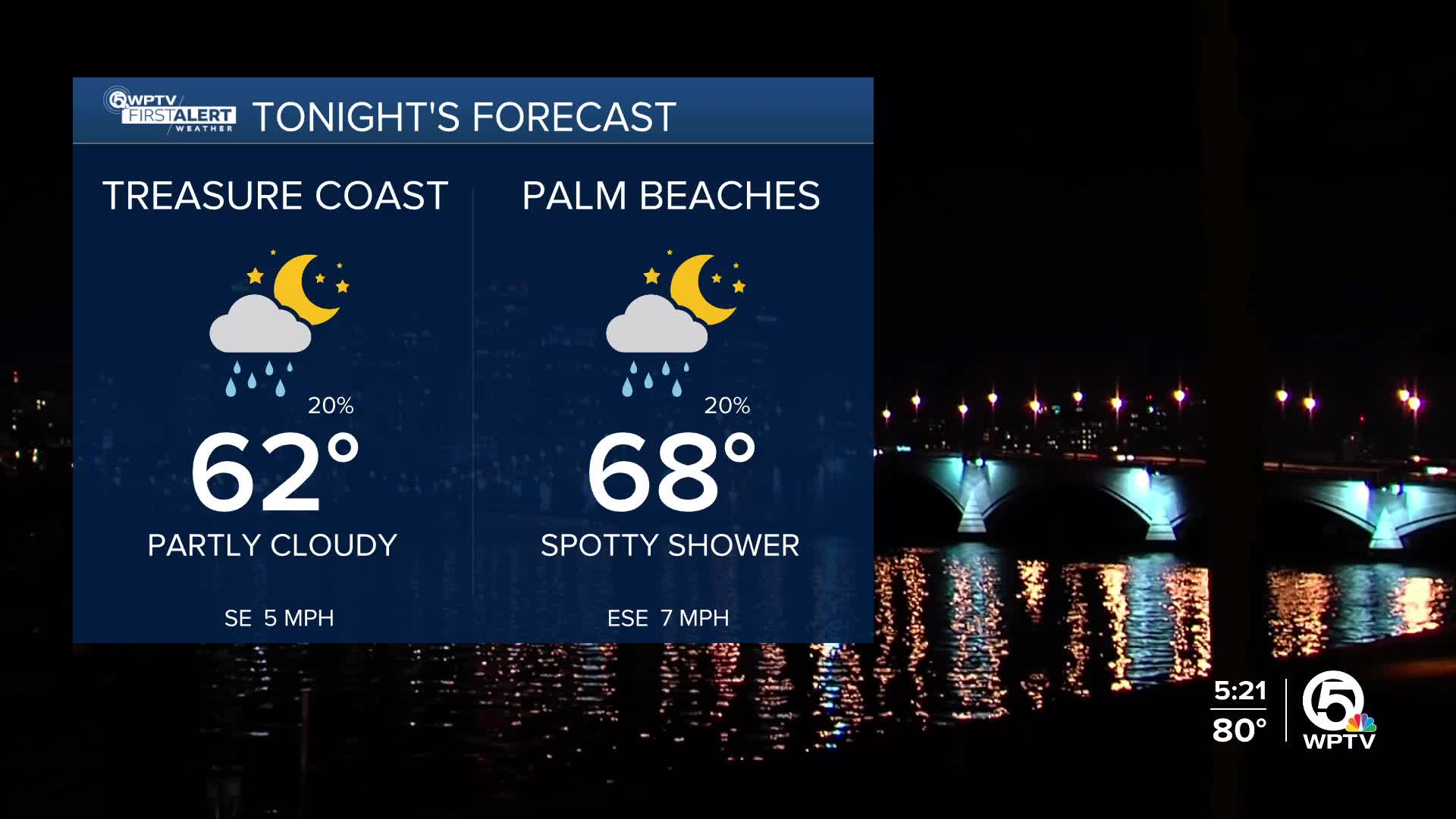


WEST PALM BEACH, Fla. — More patchy fog is expected late tonight into early Friday morning, mainly across interior areas. Along the coast, there will be a chance for a few spotty showers coming ashore overnight through the early morning.
Once the fog lifts mid-Friday morning, the big story becomes the warmth. Dry weather will dominate through much of the weekend, and temperatures will climb well above normal. Highs will reach the upper 70s to low 80s today, then push into the low to mid-80s Friday and Saturday.
Aside from a very small chance of a coastal shower on Saturday and Sunday, it looks like great weather for outdoor plans.

Winds will pick up late Sunday as our next cold front arrives. Occasional gusts up to 25 mph are possible Sunday night and Monday. It will also bring small rain chances—mainly Sunday afternoon and evening. Boating conditions will deteriorate overnight going into Monday with choppy waters expected Monday for the intracoastal.
Behind the front, cooler air settles in early next week with highs dropping into the upper 60s and low 70s and chilly mornings in the 50s and 60s. Rain chances stay low early in the week but could tick back up by midweek as another system approaches.
MORE WEATHER: Radar | Alerts | 7-Day Forecast | Hourly Forecast
**Portions of this story were assisted by artificial intelligence tools and reviewed by a WPTV journalists to ensure accuracy, clarity, and adherence to editorial standards.


