

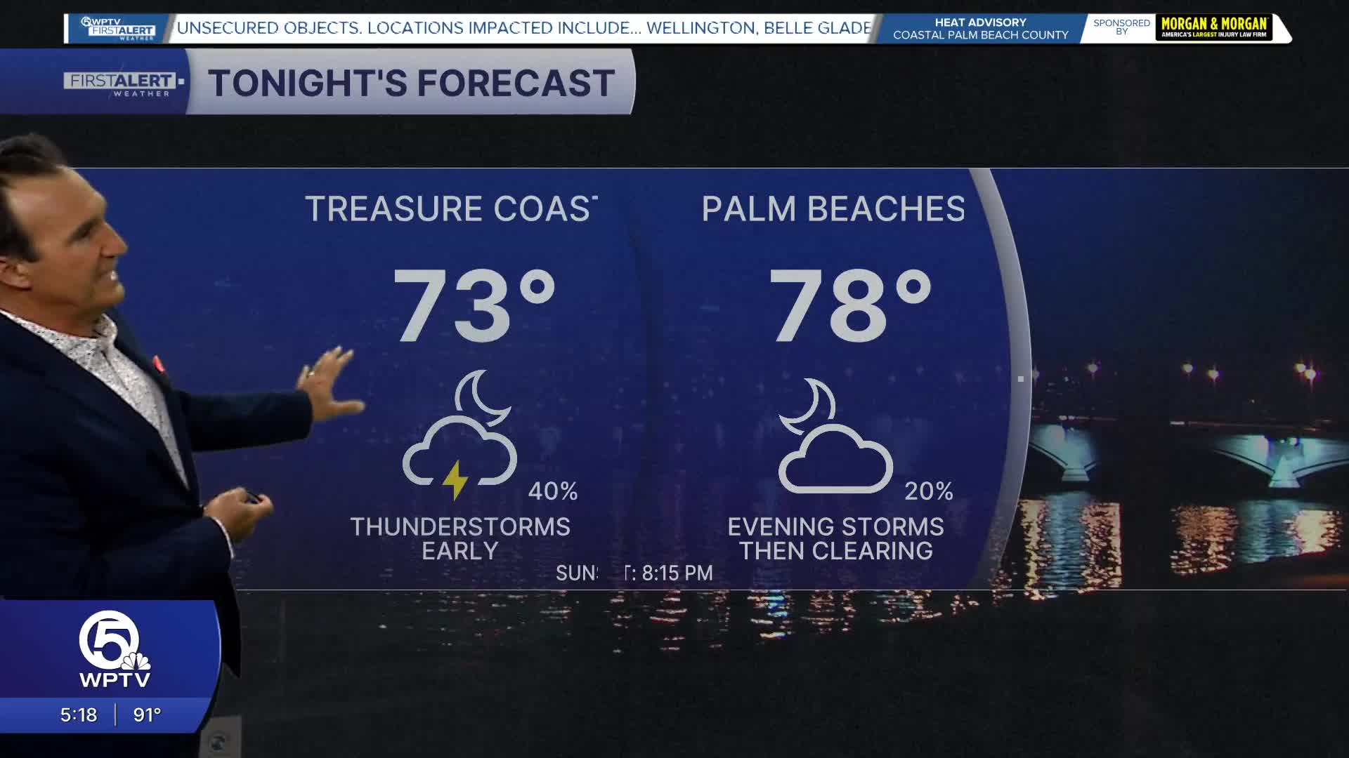


WEST PALM BEACH, Fla. — A more active storm pattern is returning with scattered afternoon and evening thunderstorms more numerous than they have been over the past several days.
Storms will first develop inland before drifting toward the coast later in the day, bringing periods of torrential rain, frequent lightning, gusty winds of 40 to 50 mph, and localized street flooding.
MORE WEATHER: Radar | Alerts | 7-Day Forecast | Hourly Forecast
Looking ahead to the weekend, rain and storm chances continue to increase. Both Saturday and Sunday will feature a blend of sun and clouds with scattered to numerous afternoon thunderstorms. While neither day will be a washout, expect several hours of dry weather each morning before storms become widespread during the afternoon and linger into the early evening.
Outdoor plans should include a backup option and be prepared to head indoors quickly if thunder is heard.
Despite the uptick in storms, the heat isn't going anywhere. Afternoon highs will remain near 90 to 92 degrees, with tropical humidity making it feel closer to 100 to 105 degrees between storms. Overnight lows will stay muggy in the mid to upper 70s. If you're heading to the beaches or out on the water this weekend, keep a close eye on the sky.
Thunderstorms can develop rapidly and produce dangerous cloud-to-ground lightning, brief strong wind gusts, and rough conditions with little warning. The best beach weather will be during the morning hours before storms begin to build inland.
**Portions of this story were assisted by artificial intelligence tools and reviewed by a WPTV journalist to ensure accuracy, clarity, and adherence to editorial standards.


