

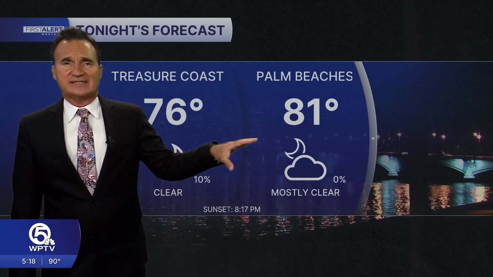


WEST PALM BEACH, Fla. — A break from the typical July pattern is settling into the region, with drier air helping to suppress widespread afternoon thunderstorms.
While the heat and humidity remain firmly in place, many communities will experience more sunshine and longer stretches of dry weather than we've seen recently.
MORE WEATHER: Radar | Alerts | 7-Day Forecast | Hourly Forecast
Thursday will feature a mix of sun and fair-weather clouds with highs in the lower to middle 90s. Heat index values will climb into the 105 to 110 degree range during the afternoon, so heat remains the primary weather concern.
Rain chances are quite limited, with only an isolated shower or thunderstorm developing inland late in the day. Most neighborhoods from the beaches to the Treasure Coast should stay completely dry.
Looking ahead through the weekend, the overall weather pattern changes very little. Expect plenty of sunshine each morning followed by a modest buildup of inland clouds during the afternoon.
Rain chances remain below average for July, with only isolated, short-lived afternoon showers or thunderstorms. Many locations may go an entire day without measurable rainfall, making this one of the drier stretches we've seen in several weeks.
Portions of this story were assisted by artificial intelligence tools and reviewed by a WPTV journalist to ensure accuracy, clarity, and adherence to editorial standards.


