

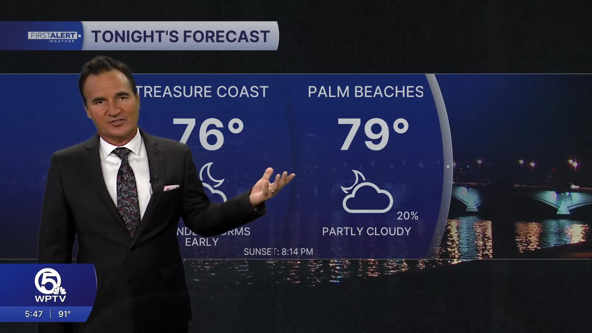


WEST PALM BEACH, Fla. — The greatest chance for thunderstorms through sunset will remain across interior South Florida, around Lake Okeechobee, and northern portions of the viewing area where the Atlantic sea breeze collides with a persistent south-southeast flow. A few storms may drift toward portions of the Treasure Coast during the evening before gradually weakening after sunset.
MORE WEATHER: Radar | Alerts | 7-Day Forecast | Hourly Forecast
Storm coverage will steadily decrease after sunset, leaving warm and muggy conditions overnight with lows near 79 to 81 degrees.
Tuesday marks the beginning of a drier weather pattern as Tropical Depression Two moves farther away into the northern Gulf Coast. Forecast moisture levels are expected to fall well below normal for late July, which means only isolated afternoon showers and thunderstorms are expected, with most activity remaining inland.
The tradeoff will be hotter afternoons. High temperatures will climb back into the low to mid-90s, and with fewer storms providing cooling relief, heat index values will once again push into the 100 to 105 degree range.
Tropical Depression Two remains over the northeastern Gulf and is forecast to strengthen as it drifts west-northwest toward the central Gulf Coast. Tropical storm conditions are expected from the Florida Panhandle westward to southeastern Louisiana, and Storm Surge Watches remain in effect for portions of coastal Alabama, Mississippi, and southeastern Louisiana.
The good news for South Florida is that no direct impacts are expected. The system will continue moving away from the peninsula through the next couple of days. Our only local effect is a persistent southerly breeze, which has helped fuel today's afternoon thunderstorm development.


