


WEST PALM BEACH, Fla. — Happy first day of winter!
Changes arrive tonight as winds strengthen, setting up deteriorating beach and marine conditions to begin the workweek.
MORE WEATHER: Radar | Alerts | 7-Day Forecast | Hourly Forecast
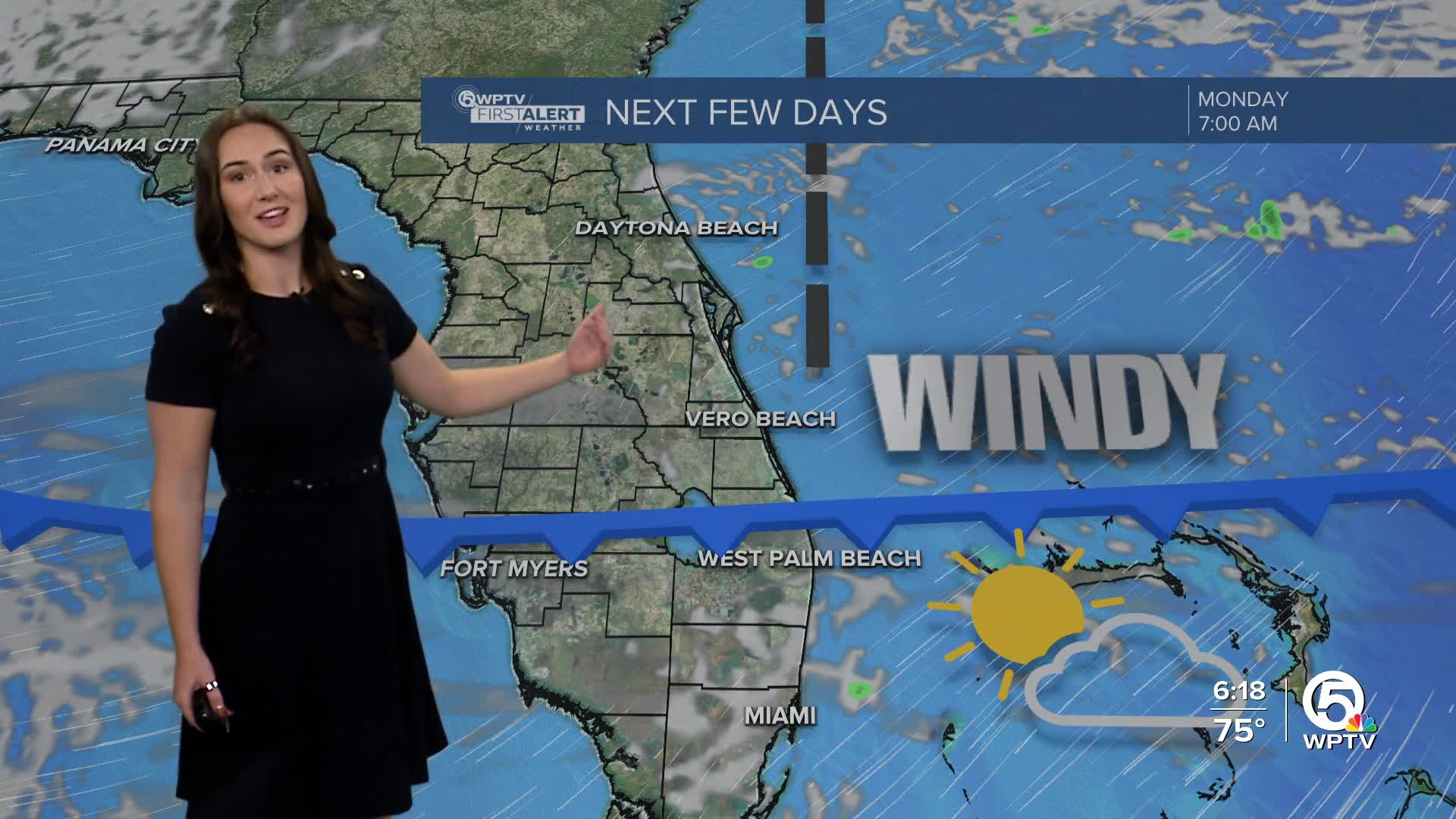
A strong area of high pressure building over the eastern U.S. will tighten the pressure gradient across South Florida late tonight into Monday. That means gusty northeast winds developing along the coast and offshore. With the on-shore winds, a brief, coastal shower can't be ruled out.
Monday remains warm but slightly cooler near the coast, with highs in the upper 70s, while inland spots stay closer to 80 degrees.
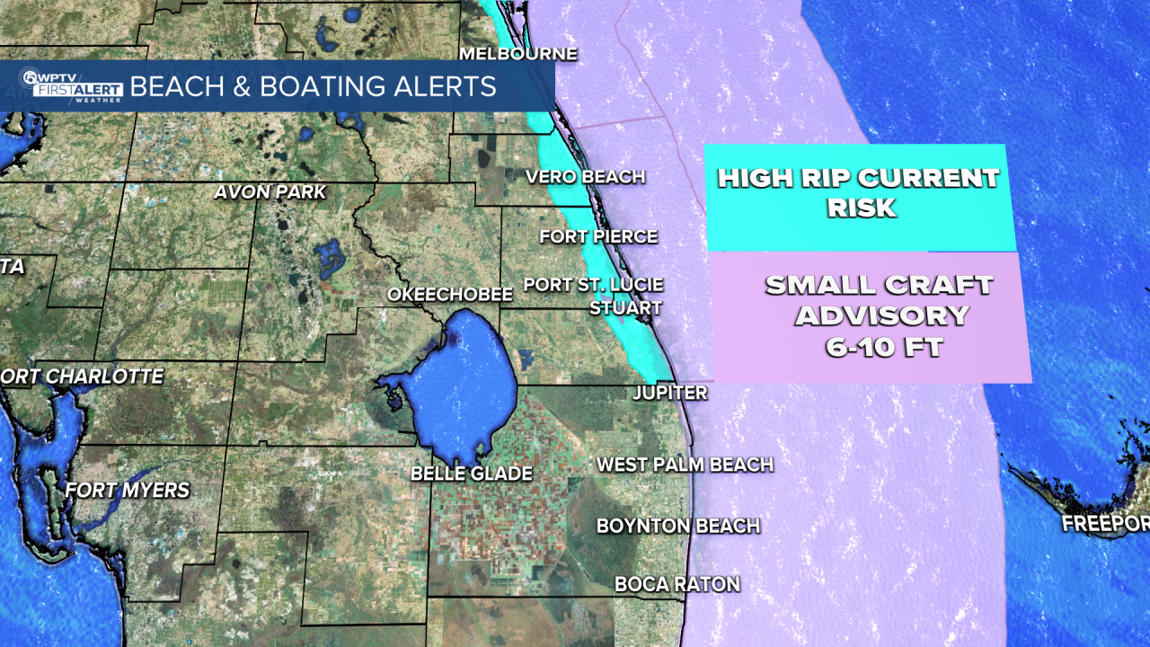
Starting tonight, a high rip current risk is also in effect for Treasure Coast beaches. A small craft advisory is in effect starting Monday. Mariners can expect seas near 6-10 ft and winds from the northeast near 20-30 kts.
Northeast winds remain elevated into Tuesday before gradually easing midweek. Rain chances stay limited, and Christmas Eve and Christmas Day continue to look mostly dry with near-average temperatures.


