


WEST PALM BEACH, Fla. — Wake-up temps Sunday morning will range from the upper 70s near the beaches to the upper 60's far inland.
We'll continue to enjoy a warm and mainly dry conditions through the remainder of the weekend with partly to mostly sunny skies.
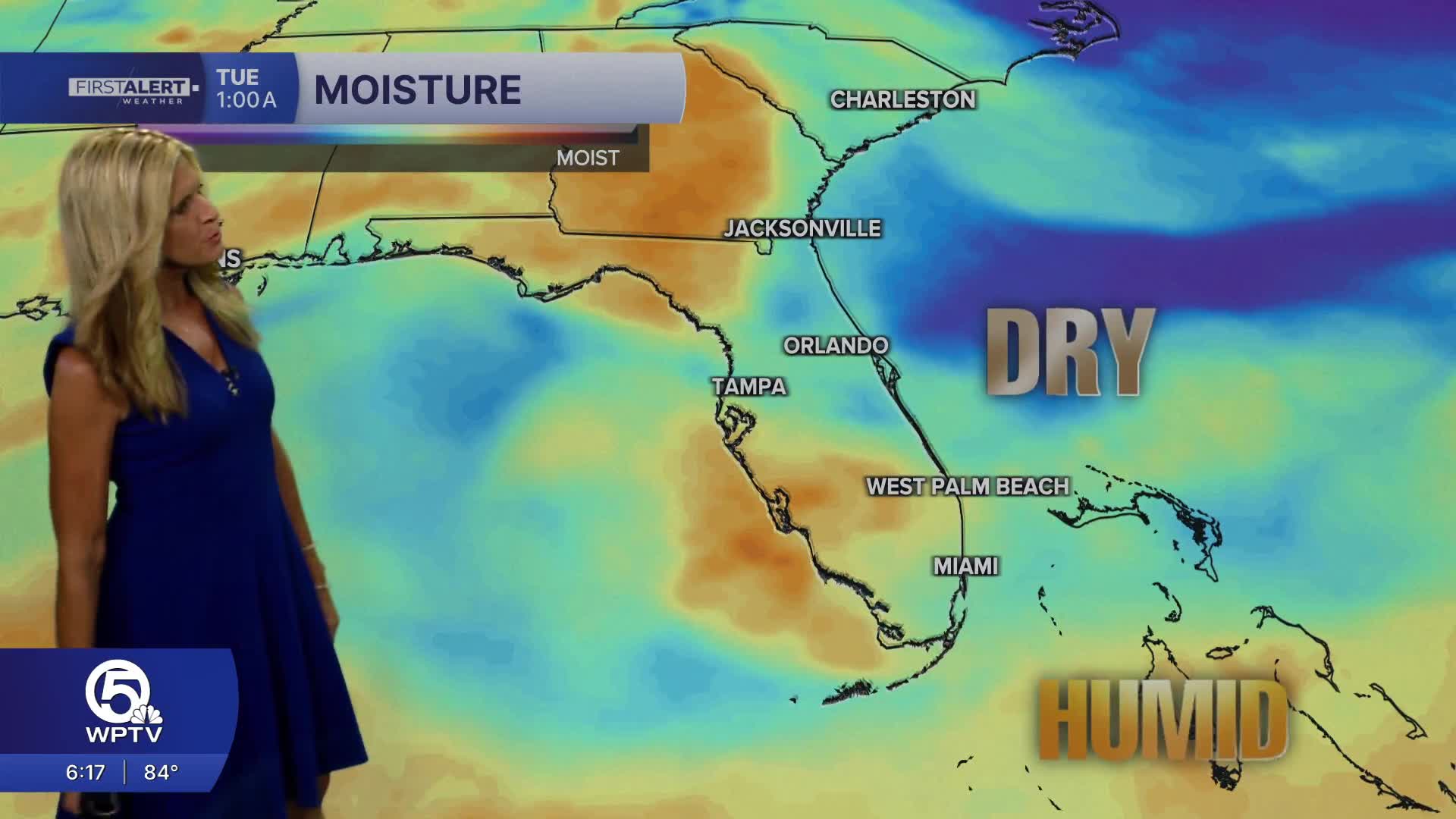
High pressure is helping keep a lid on any storms from developing along with unusually dry air in the mid levels of the atmosphere for this time of year.
Easterly winds will gust as high as 20 mph along coastal areas on Sunday - keeping a high risk of rip currents in place.
This breeze will also keep temperatures a few degrees cooler along the coast - in the mid to upper 80s. Inland areas will reach 90 degrees with the feels-like temps close to 100 degrees.
MORE WEATHER: Radar | Alerts | 7-Day Forecast | Hourly Forecast
As we head into Monday - moisture increase slightly with a 30% chance of showers and storms. Most of the activity will be across inland areas. By Wednesday - Rain chances increase to 50%.
Deep tropical moisture looks to move into the area late-week, resulting in high-end rain chances.


