


WEST PALM BEACH, Fla. — Memorial Day is shaping up to be one of the quieter weather days of the week due to an area of high pressure that continues to dominate our weather pattern.
Most coastal communities including Sebastian, Vero Beach, Fort Pierce, Stuart, Jupiter, West Palm Beach, and Boca Raton should remain mainly dry through much of the day outside of a few isolated passing coastal showers.
MORE WEATHER: Radar | Alerts | 7-Day Forecast | Hourly Forecast
The east coast sea breeze once again pushes inland this afternoon, focusing the best storm chances farther west toward inland St. Lucie County, Indian River County, Okeechobee, and interior South Florida.
Overall rain coverage remains fairly low today.
The biggest concern at the area beaches remains the surf conditions. A high risk of dangerous rip currents continues through Tuesday evening, and entering the water is strongly discouraged.
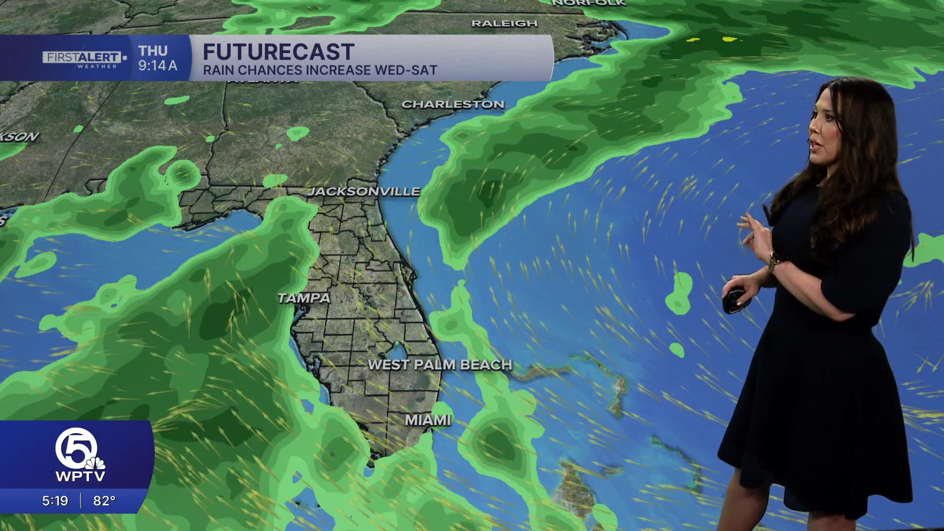
The overall weather pattern begins changing by midweek as deeper tropical moisture surges northward towards us by Wednesday and lasting into the weekend. Some forecast models are already indicating widespread rain and storm coverage reaching 70–80% by Thursday and Friday. We shall see how this develops...
Temperatures may cool slightly later this week as cloud cover and rain chances increase.


