

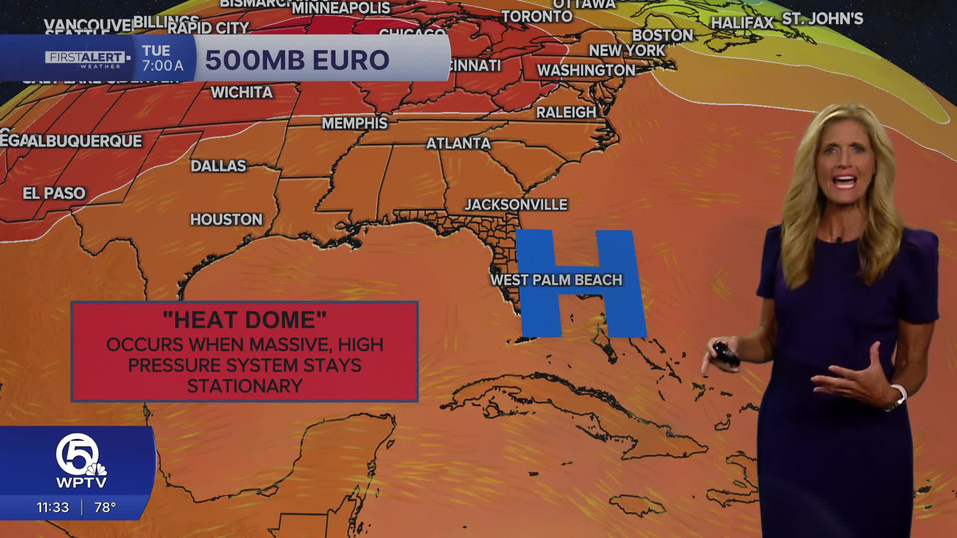


WEST PALM BEACH, Fla. — Wake-up temps Monday morning will range from the mid 70s inland to near 80 degrees at the coast.
Unfortunately - we won't see much relief from the above-average heat we experienced all weekend.
Monday will feature another round of mid-90s temperatures, dangerous heat indices, and a few late-day storms. Saharan dust is expected to remain over the region through much of the upcoming week, keeping rain chances below average while allowing the heat to remain the dominant weather story.
Humidity pushes feels-like temperatures between 100 and 110 degrees. If you'll be spending time outdoors, drink plenty of water, wear lightweight clothing, take frequent breaks in the shade or air conditioning, and never leave children or pets inside a parked vehicle.
The Saharan air layer doesn't completely take storms out of the forecast. A few showers and thunderstorms are expected to develop during the afternoon. Some of the storms could be strong with gusty winds, excessive lightning and small hail.
MORE WEATHER: Radar | Alerts | 7-Day Forecast | Hourly Forecast
If you're making outdoor plans over the next several days, plan for the heat and a 20%-30% of scattered storms mainly during the hours of 4 - 7 pm.
Boating conditions look good with seas 1-2 feet and a light chop on the Intracoastal.
The Atlantic is quiet and no tropical development is expected for us over the next 7 days, but for the Pacific... They have several areas to watch. The National Hurricane Center is monitoring a disturbance south of Mexico that now has a 90% chance of tropical development over the next seven days. The system is expected to remain well offshore and poses no threat to the United States.


