


WEST PALM BEACH, Fla. — We are in for another hot and steamy weekend, but relief from the heat may come in the form of widespread showers and thunderstorms in the afternoon hours.
Temperatures on Saturday will climb into the lower 90s across Palm Beach County and the Treasure Coast. However, when combined with Florida's summer humidity, it will feel more like 105 to 110 degrees during the hottest part of the afternoon.
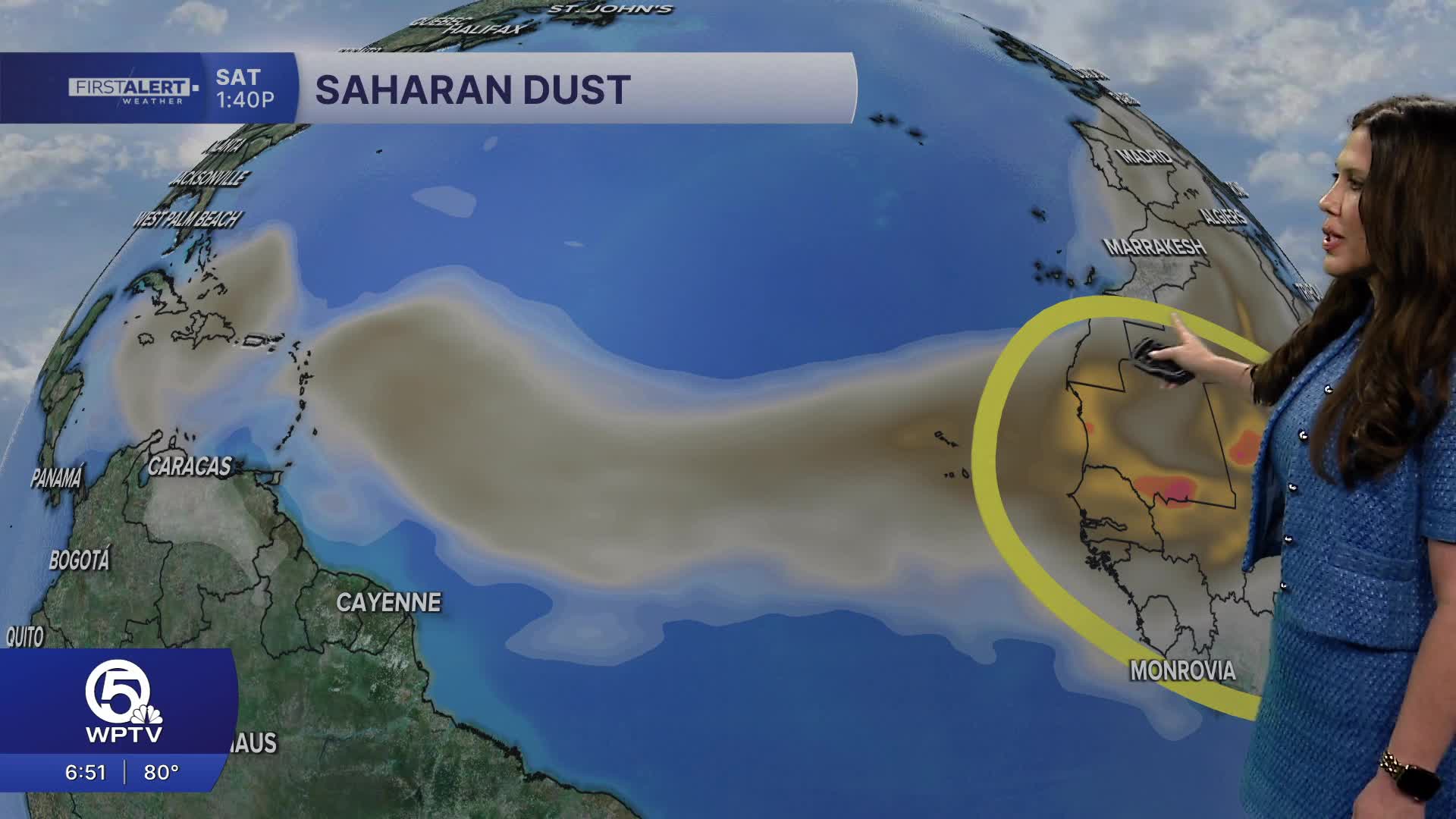
A surge of tropical moisture moving into the state will help fuel numerous showers and thunderstorms throughout the weekend.
Storm coverage is expected to increase during the afternoon and evening hours Saturday, with many communities seeing rainfall before the day is over. The greatest storm coverage is expected inland before activity gradually pushes toward the coast later in the day.
While rain will help cool temperatures temporarily, some storms could become strong.
Along the Treasure Coast, strong storms may develop during the late afternoon and evening as sea breeze boundaries collide across the region. Forecasters cannot rule out an isolated funnel cloud or waterspout near these boundary interactions.
The active weather pattern is expected to continue through Sunday before slightly drier conditions return during the first half of next week. Even then, afternoon temperatures will remain in the lower to middle 90s with daily chances for scattered thunderstorms.
MORE WEATHER: Radar | Alerts | 7-Day Forecast | Hourly Forecast
Saturday
High: 91° to 93°
Heat Index: 105° to 110°
Numerous afternoon and evening storms
Sunday
High: 91° to 93°
Scattered to numerous storms
Hot and humid conditions continue
Meteorologist Skylar Spinler


