
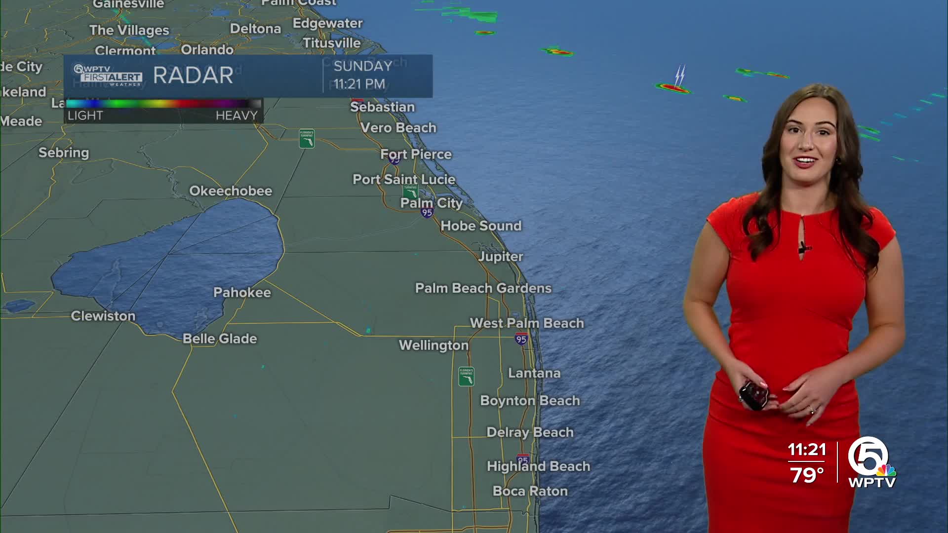


WEST PALM BEACH, Fla. — It will be partly-mostly cloudy overnight with the chance for isolated showers, especially near the coast. Lows will fall into the mid-upper 70s.
MORE WEATHER: Radar | Alerts | 7-Day Forecast | Hourly Forecast
The boundary bringing us this rain will start to lift north this week. Rain chances will become more isolated as we enter the workweek/first week of school.
Monday morning will have a few passing coastal showers, which might make bus time for the first day of school a little troublesome in a few spots. The afternoon will feature a few passing showers with an isolated storm possible further inland and near the Treasure Coast. Highs on Monday will near 90.
Temperatures will start to heat up as rain chances cool off. Tuesday and Wednesday will be very hot with highs in the lower 90s with some spots in the middle 90s. Isolated storm chances are possible in the afternoon.
The later end of this week will be the classic hot and humid setup with highs in the lower to middle 90s and isolated afternoon storms.
In the Atlantic Basin there is a lot of attention on one tropical wave. It is 3,000 miles away and has a lot of strengthening to do. This has been designated Invest 97L.

It will move west-northwest near 15-20 mph across the central Atlantic where it has a high chance of development. There it will have better conditions to see further strengthening.
While most models currently have the system curving away from the U.S., it is something we need to keep a close eye on—as it is possible that it could change course as it is still too early to tell.


