


WEST PALM BEACH, Fla. — Wake-up temps this morning range from the upper 60s inland to the low and mid 70s at the coast. The cold front that moved through on Sunday has now stalled in the Florida Straits.
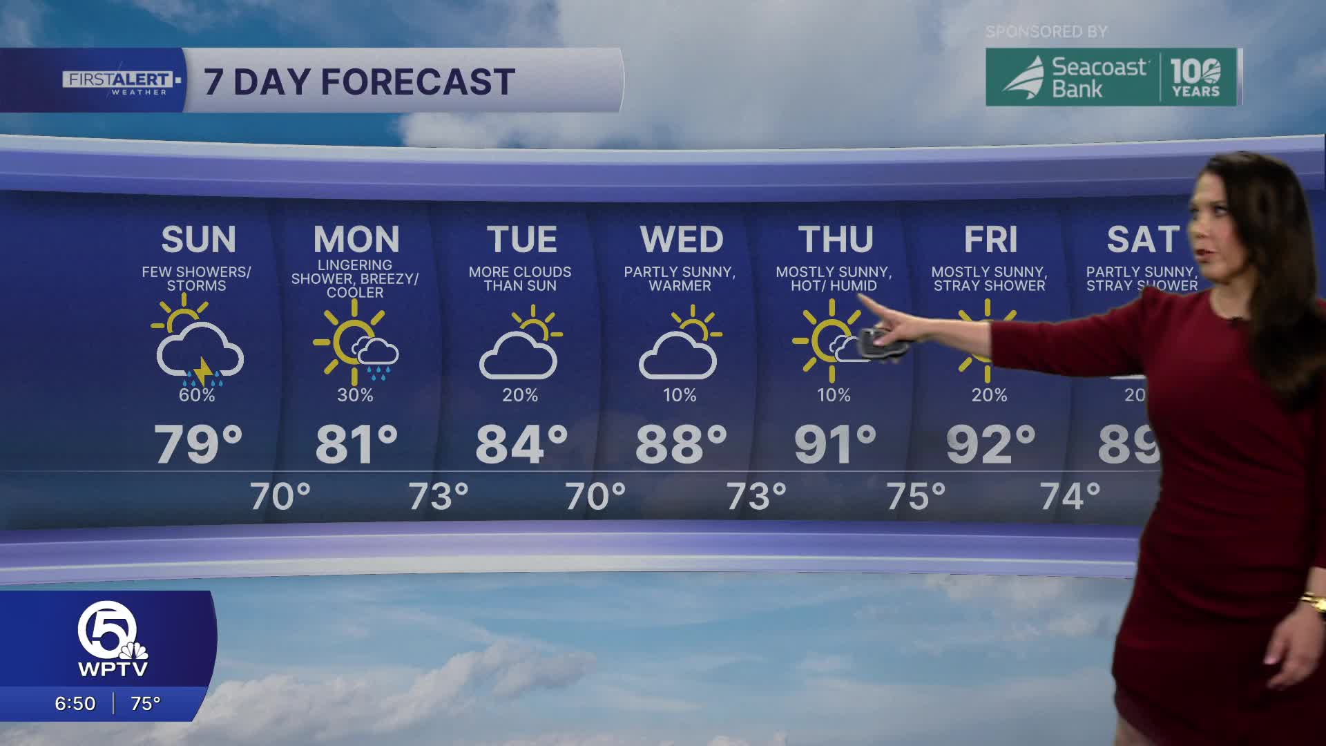
We will stay unsettled on Monday with a chance of showers and a few storms possible too.
MORE WEATHER: Radar | Alerts | 7-Day Forecast | Hourly Forecast
Daytime highs on Monday will stay in the low 80s with breezy northeast winds. Mostly to partly cloudy skies will prevail Monday with a 40% chance of rain.
Marine hazards will be present on Monday. Surf will range from 4-6 feet with occasional seas up to 8 feet. A moderate risk of rip currents will be present at area beaches.
With the front stalled just to the south of us, we’ll see occasional showers through Tuesday.
By midweek, sunshine and heat return with highs climbing into the upper 80s to low 90s Wednesday through Friday.
Onshore breezes will give coastal spots some afternoon relief, but inland areas will bake. Another front may approach late week, bringing a slight cool down and modest rain chances heading into next weekend.


