


WEST PALM BEACH, Fla. — We are monitoring for wildfires with a worsening drought combined with breezy winds and low relative humidity.
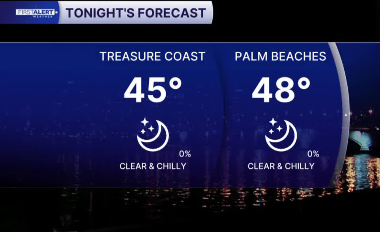
While we have a warmer weekend in store for us, Friday evening will be chilly as especially after dusk. Temperatures once again fall into the 40s across much of the area Saturday morning.
MORE WEATHER: Radar | Alerts | 7-Day Forecast | Hourly Forecast
We are expecting lots of sunshine even though a weak cold front will move through the region. You won't see or feel much of a change other than the wind swinging to come out of the north.
Highs will climb back into the upper 60s and low 70s on Saturday. Temperatures will be cool in the evening with lows dipping into the 40s and 50s Sunday morning.

High pressure builds in and continues to bring dry weather and a gradual warming trend through the week ahead. Highs return to the upper 70s and even low 80s in some spots.
Beach and boating conditions will be hazardous through at least Sunday morning. Boaters should use extreme caution, as Small Craft Advisories are in effect with strong winds and seas building to 5-8 feet offshore. A high risk of rip currents is in place for Palm Beach County beaches due to increasing winds and lingering swell.


