
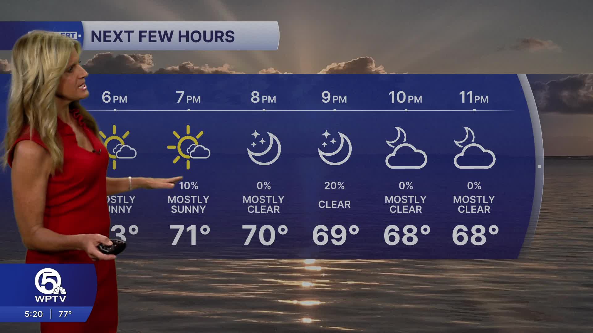


WEST PALM BEACH, Fla. — A beautiful stretch of weather is setting up for the weekend with more sunshine and dry conditions.
The only hazardous weather we'll see will be across our local waters. Surf will be waist to chest high with a high risk of rip currents.
A small craft advisory is in effect through Saturday morning.
MORE WEATHER: Radar | Alerts | 7-Day Forecast | Hourly Forecast
As we head into the weekend, a ridge of high pressure builds in over the state from the Gulf. As a result - we'll see winds becoming a little lighter.
Rain chances also quickly drop off, giving way to a much drier pattern—though that means no relief for ongoing drought conditions. With fewer clouds around, temperatures will climb into the upper 70s Saturday and low 80s by Sunday.
Looking ahead, the warming trend continues into early next week. Sunshine and stable conditions will dominate through at least Tuesday. While a cold front may approach Florida by late Tuesday & Wednesday, current projections suggest it will stall to the north, but it will be enough to increase rain chances mid-week.
**Portions of this story were assisted by artificial intelligence tools and reviewed by a WPTV journalists to ensure accuracy, clarity, and adherence to editorial standards.


