
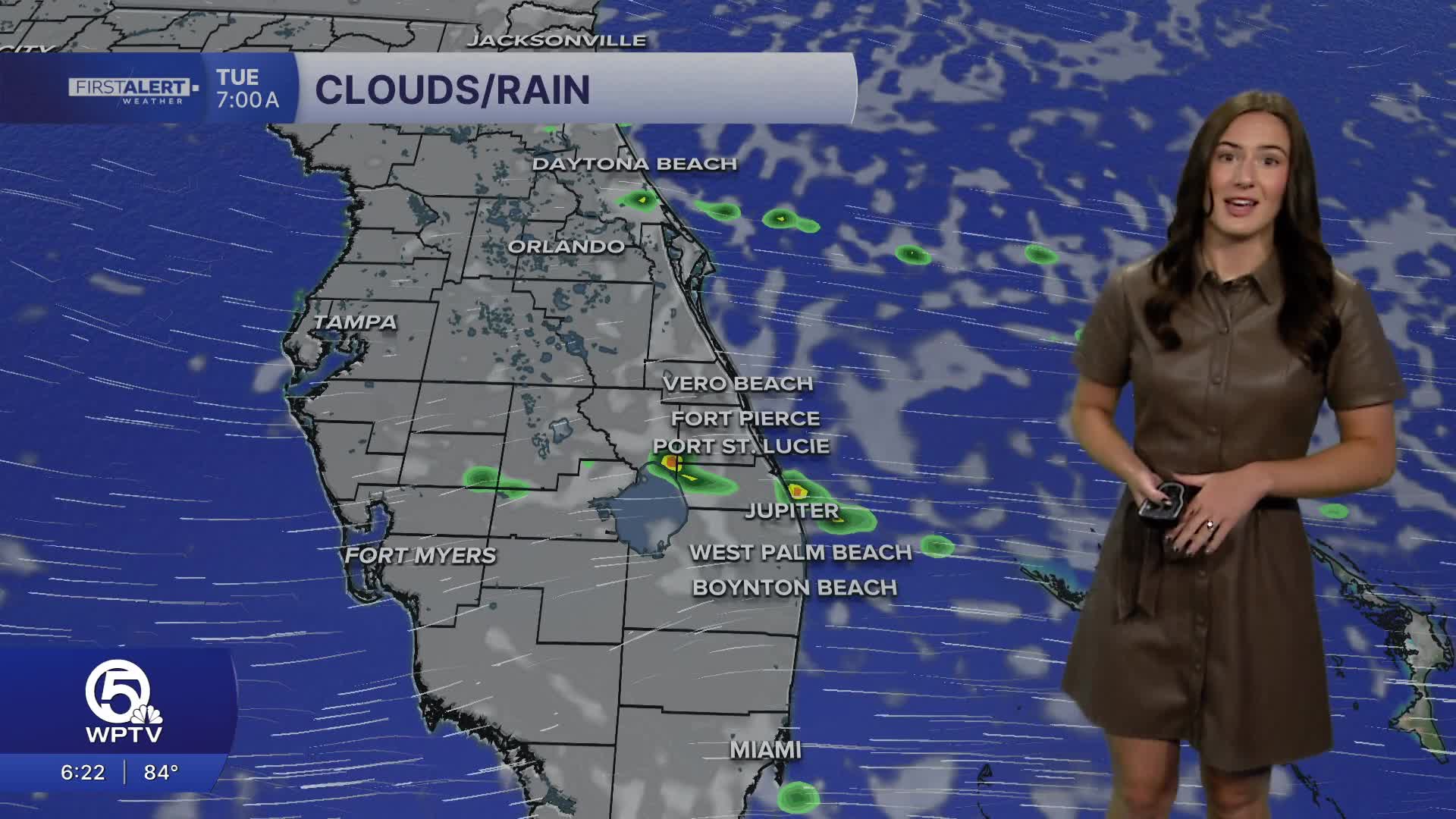


WEST PALM BEACH, Fla. — Little change is expected in the forecast over the next few days with overnight isolated showers and afternoon inland storms.
The evening stays warm with temperatures staying in the 80s. A few passing showers are possible, especially along the coast. The wind will calm down overnight, but is expected to pick-up again tomorrow with easterly winds gusting around 25 mph.
With the gusty winds, there is a high risk for life-threatening rip currents at all Florida Atlantic beaches. Entering the water is strongly discouraged at this time.
MORE WEATHER: Radar | Alerts | 7-Day Forecast | Hourly Forecast
Monday, we will have a mix of sun and clouds and the chance for showers/t-storms to develop along the sea breeze in the afternoon. With our strong onshore winds, the bulk of the heavy rain and storms look like they will wind up in Southwest Florida again. Still, a couple of downpours or thunderstorms can't be ruled out especially, the further west you are.

Temperatures stay near normal at the coast with highs in the mid to upper 80s, while inland areas warm closer to 90 degrees. Heat index values will climb to the mid 90s Monday and gradually trend hotter later this week as rain chances start to decrease.


