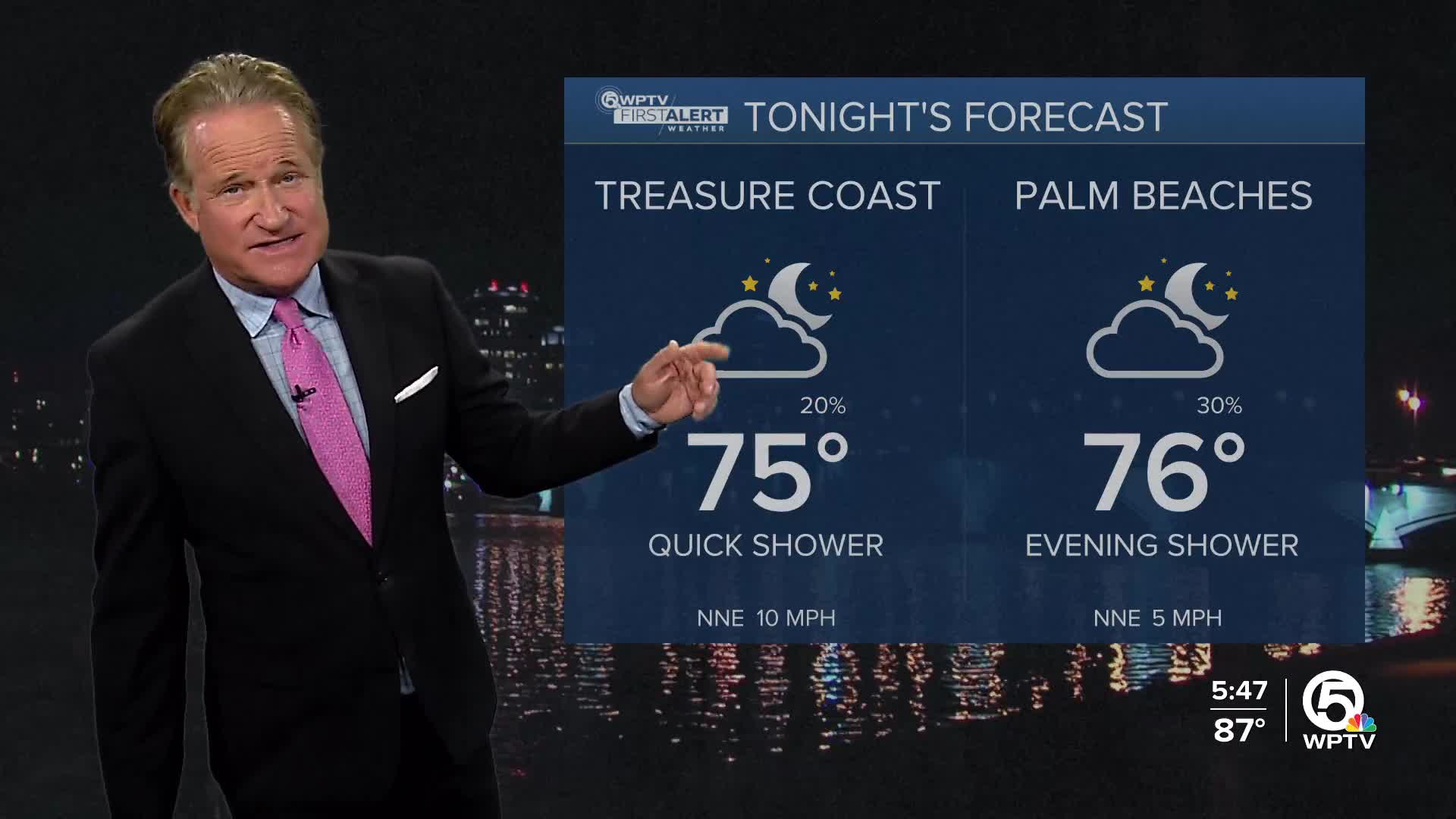
WEST PALM BEACH, Fla. — The weather this weekend continues to look bright and sunny as a weak area of low pressure in the western Atlantic pulls away from south Florida. Just a spotty shower is possible during the afternoon.
MORE WEATHER: Radar | Alerts | 7-Day Forecast | Hourly Forecast
Temperatures should top out near 90 degrees both Saturday and Sunday. The pattern turns a little more active again as we get into next week. Afternoon sea breeze driven showers and thunderstorms are expected on a daily basis up and down the I-95 corridor.
BEACH CONDITIONS
A moderately strong northeast breeze will develop from time to time over the weekend. This will keep the seas a little bumpy. Watch for rip currents and make sure you only swim on guarded beaches.
BOATING CONDITIONS
North to northeasterly winds of 10-20 knots are expected Saturday. Perhaps a touch lighter on Sunday. Seas of 2-3 feet. If you're crossing the gulf stream and heading over into the Bahamas the ride will be bumpy at times leaving from the Treasure Coast. It's a smoother ride the farther south you travel.
7 DAY FORECAST
Saturday: Mostly sunny, hot and humid. A spotty shower or thunderstorm is possible. High 90. Heat Index 96.
Sunday: Mostly sunny, hot and humid. High 90.
Monday: Sunny during the morning hours. Sea breeze driven showers and thunderstorms will develop during the afternoon (I-95 corridor). High 89.
Tuesday: Scattered afternoon showers and thunderstorms. High 90.
Wednesday: Hot and humid. A spotty afternoon thunderstorm is possible. High 90.
Thursday: Hot and humid with an afternoon thunderstorm. High 90.
Friday: Sun and clouds. A spotty afternoon shower or thunderstorm is possible. High 89.
THE TROPICS
Tropical Storm Gabrielle is beginning to get better organized in the central Atlantic. Gabrielle will likely become a hurricane early Sunday morning and there is the potential for further strengthening down the road. Some of the computer guidance has Gabrielle a category 2 storm on Monday as she passes just east of Bermuda. It's still too soon to determine the potential rain and wind impacts to the island of Bermuda. But we can say with 100% certainty that no impacts will be felt along the east coast of the United States.


