
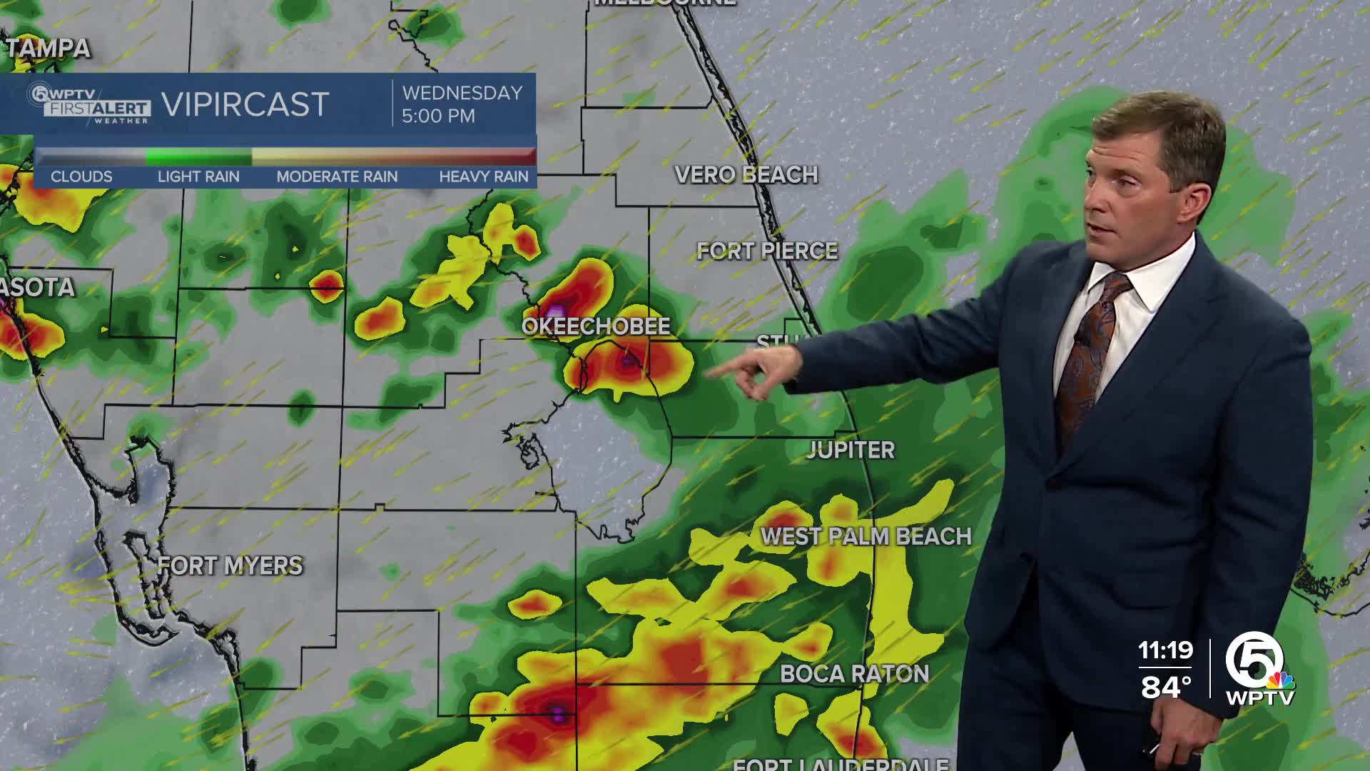


WEST PALM BEACH, Fla. — Rain chances will increase starting Wednesday, with scattered showers and storms possible in the afternoon and evening.
There will be a potential for gusty winds, frequent lightning and locally heavy rainfall. Temperatures will stay in the mid to upper 80s.
A high risk of life-threatening rip currents continues along all area beaches from Indian River County through Palm Beach County.
MORE WEATHER: Radar | Alerts | 7-Day Forecast | Hourly Forecast
The weather becomes even more unsettled heading into Thursday and Friday— a stalled boundary combined with deep tropical moisture will support rounds of showers and storms. Localized flooding will be a concern across Palm Beach County and the Treasure Coast. Temperatures will reach only the mid-80s.
Forecast confidence is still low for the weekend. Some models suggest an area of low pressure forming offshore, which may help send drier air into parts of South Florida. That could scale back rain coverage a bit, but daily showers and storms are still likely, especially inland during the afternoons. Highs will return to the upper 80s to low 90s


