
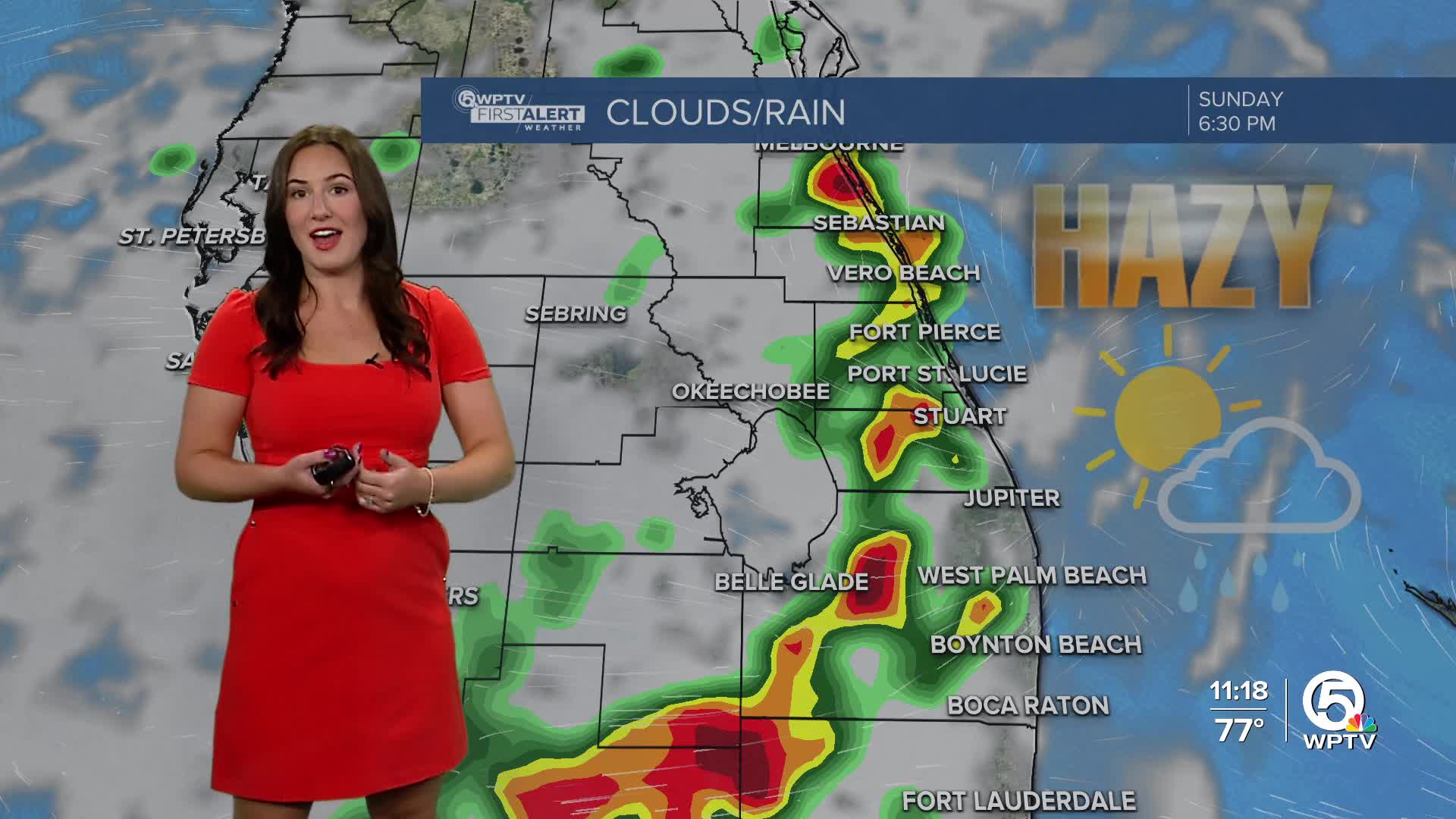


WEST PALM BEACH, Fla. — A plume of Saharan dust will remain over South Florida this weekend creating hazy skies. Even with the dust, we still have the threat for afternoon and evening thunderstorms.
MORE WEATHER: Radar | Alerts | 7-Day Forecast | Hourly Forecast
Sunday will be a similar forecast to Saturday with hazy skies filtering the sunshine and afternoon scattered showers and storms developing. Temperatures will be hot and humid in the upper 80s, near 90.
The dust and haze will begin to dissipate starting late Monday. Highs on Monday will be in the upper 80s to lower 90s with afternoon showers and storms likely.
The pattern starts to become more active after Tuesday. Scattered-widespread showers and storms are possible each afternoon and evening.
High temperatures remain consistent in the upper 80s to lower 90s.
TROPICS

Tropical Depression Two has formed in the Bay of Campeche. It doesn't pose a threat to us in Florida. It will likely become a tropical storm on Sunday before moving inland over Mexico by Monday morning.


