
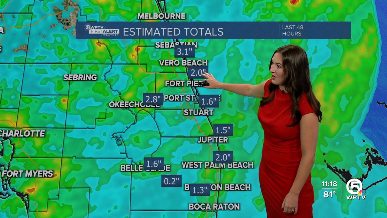


WEST PALM BEACH, Fla. — Tropical moisture is pulling away from Florida this weekend.
Some partial clearing is expected overnight with lows in the mid-upper 70s.
Saturday starts out with more sunshine, but scattered showers and thunderstorms will move in during the afternoon again. Coverage will be a little less though. Highs will approach 90 with feels-like temperatures in the upper 90s.

Sunday, rain chances start to drop as the tropical moisture moves out and slightly drier air moves in. Next week our rain chances return to near normal.
MORE WEATHER: Radar | Alerts | 7-Day Forecast | Hourly Forecast
In the Tropics, we have newly formed Tropical Depression 3 just off the southeast U.S. coast. It is forecast to become our next named storm (Chantal) before making landfall in South Carolina by early Sunday morning.
Since it's pulling north away from our state, any impacts to our area will be minimal. In fact our rain chances will decrease early next week as the tropical moisture moves north and some slightly drier air moves in.


