

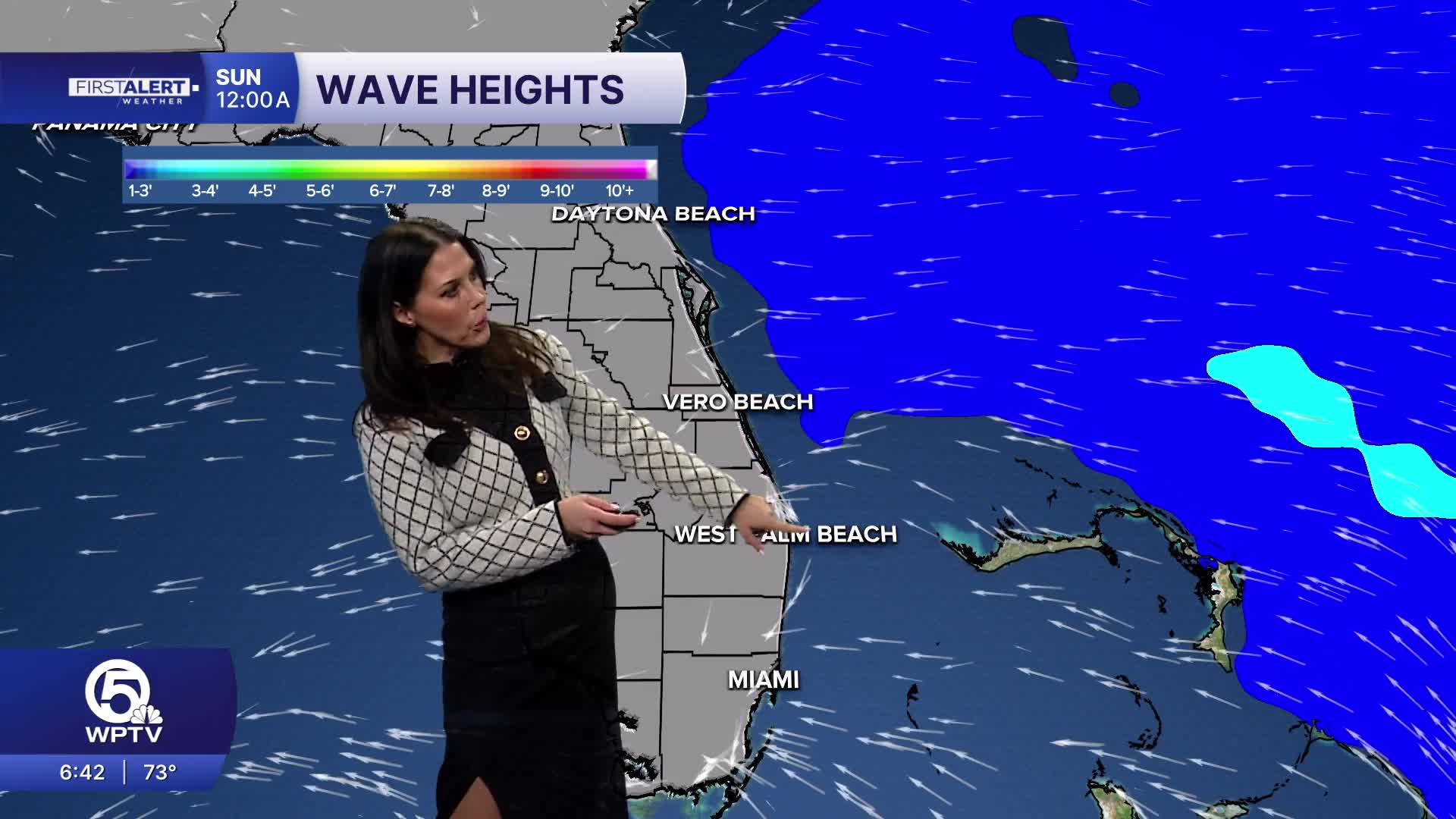


WEST PALM BEACH, Fla. — Scattered to numerous showers and thunderstorms will develop across the Palm Beaches and Treasure Coast today, with the greatest coverage during the afternoon and early evening. Slow-moving storms could produce frequent lightning, gusty winds and locally heavy rainfall of 1 to 3 inches, creating a risk for localized street and poor-drainage flooding.
Highs will reach the upper 80s to right around 90 degrees.
Sunday looks even wetter, with deeper moisture bringing numerous showers and thunderstorms across the region. Heavy downpours and localized flooding will remain possible, especially during the afternoon and early evening, with highs once again in the upper 80s to around 90.
MORE WEATHER: Radar | Alerts | 7-Day Forecast | Hourly Forecast
We stay unsettled as we start the work week off more rain Moday, Tuesday, and Wednesday.


