


WEST PALM BEACH, Fla. — Heading into Sunday, we will once again have more sunshine and toasty temperatures. However, storm chances increase in the afternoon as the heat builds throughout the day.
MORE WEATHER: Radar | Alerts | 7-Day Forecast | Hourly Forecast
As humidity increases this weekend, high temps are heading above average in the mid-upper 80s.
High pressure is weakening, as unsettled weather moves closer to the region. Winds will shift to a south to southwesterly direction in the afternoon. This will allow for a stronger sea breeze to develop from the gulf and drift towards our coast late in the day. Stronger storms could produce: gusty winds, heavy downpours, and potentially small hail.
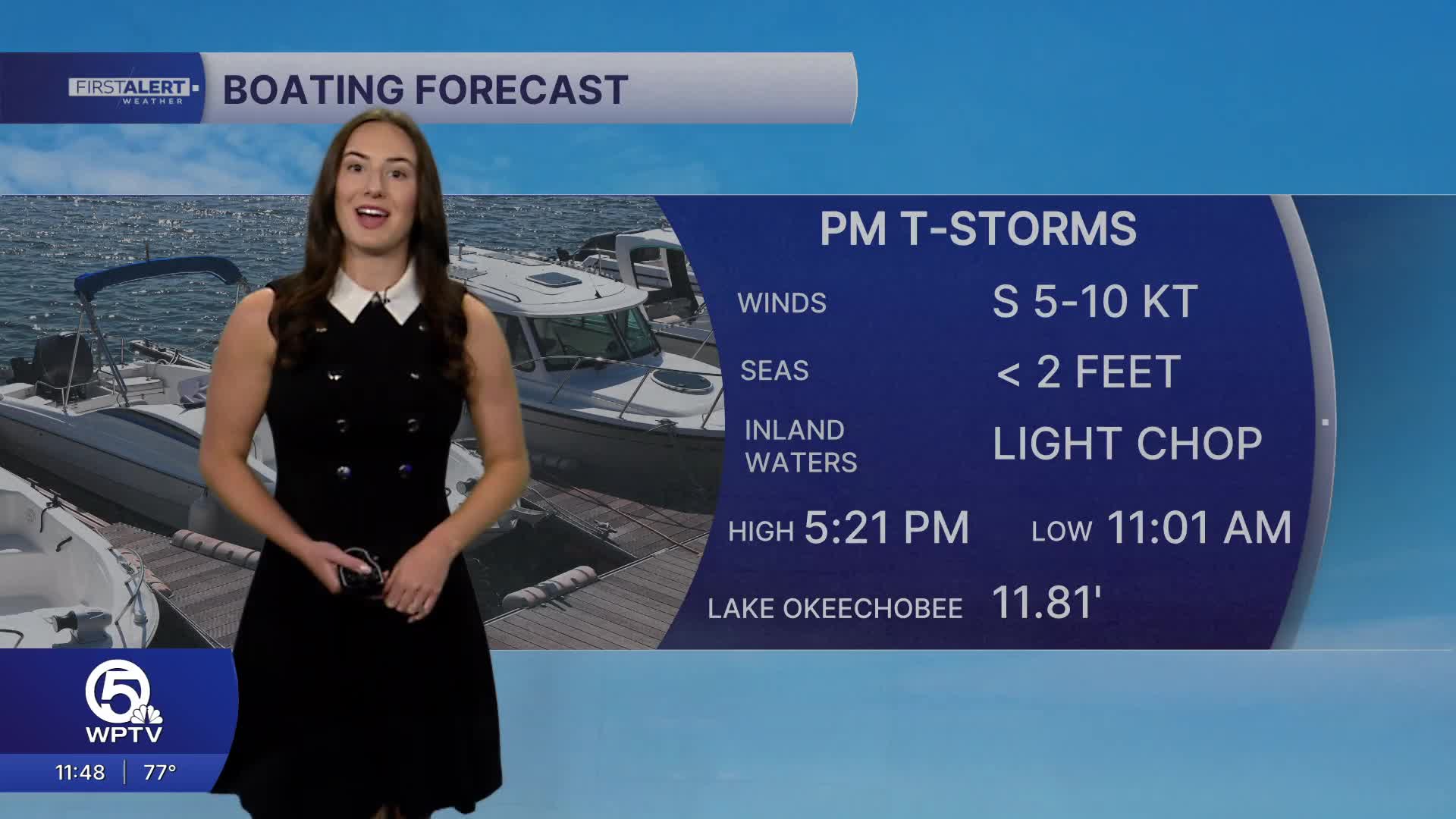
Out on the water, seas will be minimal— around two feet with a light chop on the intracoastal. However, there is still a moderate risk of rip currents. While we are finally seeing better boating conditions, boaters will need to be aware of storms moving in during the afternoon.

Spotty showers and t-storms are once again possible on Monday as the sea breeze develops and moisture from a weak front arrives.
Drier air moves back in behind a weak front on Tuesday, then temperatures climb late in the week. The weather pattern will gradually shift toward EVEN hotter, more summer-like conditions across South Florida with highs reaching the upper 80s, and inland spots near 90.


