

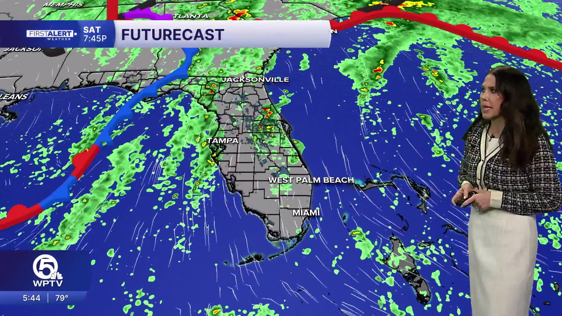


WEST PALM BEACH, Fla. — South Florida is in for another warm and unsettled weekend, with scattered to numerous showers and thunderstorms expected Saturday and Sunday.
The good news? A change in the weather pattern is on the way, bringing drier air and more comfortable conditions by the beginning of the workweek.
MORE WEATHER: Radar | Alerts | 7-Day Forecast | Hourly Forecast
Temperatures on Saturday will climb into the upper 80s and lower 90s. The humidity will make it feel even hotter, with heat index in the triple digits.
Showers and thunderstorms will become more widespread during the afternoon and early evening, with rain chances around 50%.
Sunday will bring another round of warm and humid weather, although temperatures may be slightly cooler in some locations. Highs will generally reach the upper 80s to around 90 degrees.
A cold front approaching from the north will help trigger additional showers and thunderstorms, particularly across the Treasure Coast. Meanwhile, drier air will begin working into the atmosphere, setting the stage for a noticeable change early next week.
Beachgoers should use extra caution this weekend as dangerous rip currents and rough surf affect Atlantic beaches.
A high risk of rip currents is expected Saturday along the Palm Beaches and Treasure Coast. Swimming in these conditions can be life-threatening.
Boaters will also encounter breezy and choppy conditions, with southerly winds around 15 to 20 knots Saturday and seas generally 3 to 5 feet across portions of the local Atlantic waters.
King tides could also produce minor coastal flooding in vulnerable, low-lying areas around high tide during the early part of the weekend.
A weak cold front will move south through the region Monday, bringing much drier air behind it.
While an isolated shower remains possible, most locations should experience improving weather as the day progresses.
The biggest difference will be the humidity. Dew points are expected to drop into the 60s across portions of the area, making conditions feel noticeably more comfortable.
Tuesday through Thursday should feature plenty of sunshine, limited rain chances and afternoon highs generally in the mid to upper 80s.


