

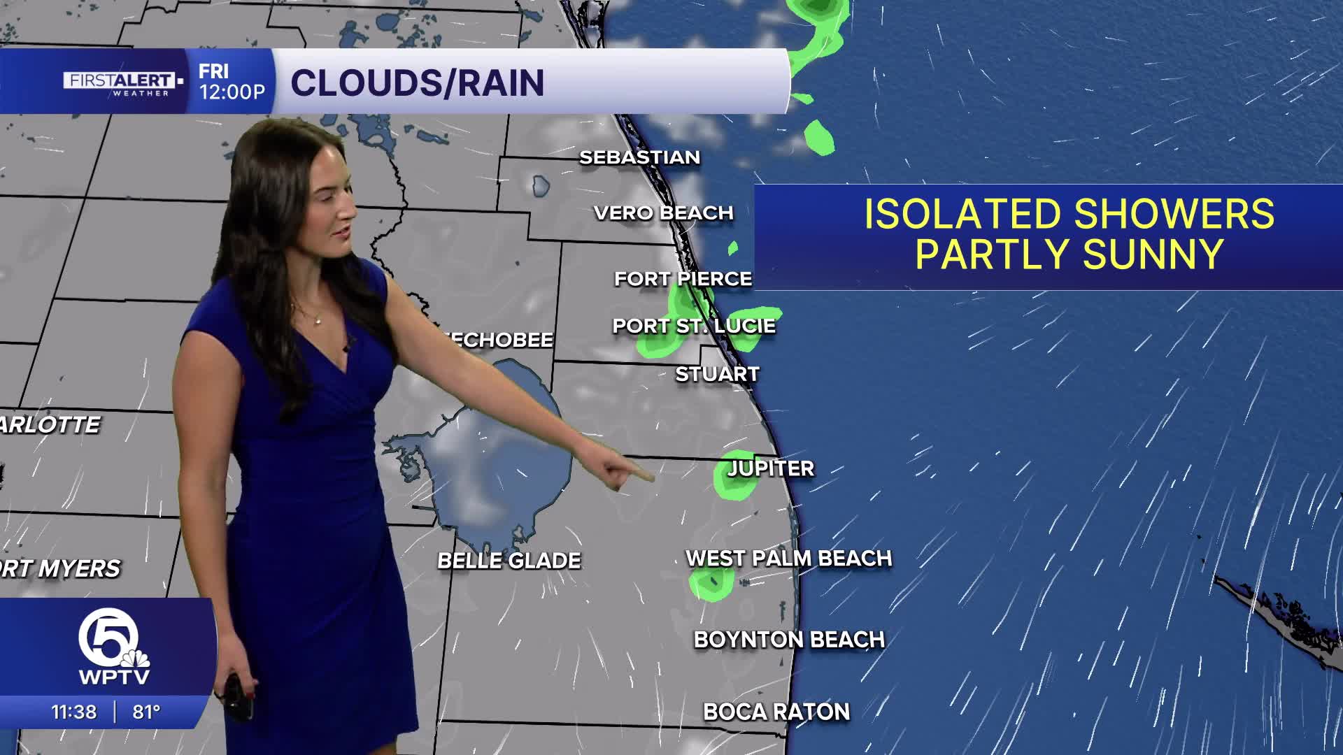


With a very strong El Niño event in the Pacific, the U.S. weather pattern is significantly impacted, especially in winter. Historically, El Niño brings stormier weather for the southern United States, including Florida.
According to the National Weather Service (NWS) Miami, above-normal rainfall is anticipated for our dry season with a higher risk for flood events and severe weather including tornadoes.
This happens as El Niño drives the subtropical jet stream farther south across the U.S. during the winter and dry season and generally steers more storm systems eastward.
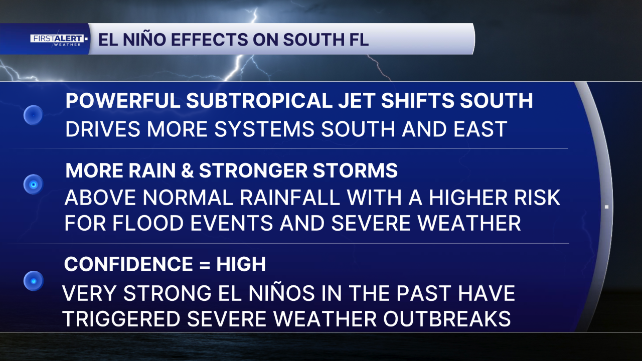
The NWS says due to the strength of the El Niño, which could match or exceed the historic 1997–1998 event as the strongest recorded (since 1950), confidence is high for a higher risk of strong storms. The 1997-1998 El Niño is tied to multiple severe weather events and the deadliest tornado outbreak in Florida back in February of '98.
AFFECT ON WINTER TEMPERATURES
Although more storm systems are in the forecast, it doesn't mean we will necessarily see more cold snaps or days with freezing temperatures. Because the dominant subtropical jet stream drives more southern storm systems, cold air masses from the north rarely penetrate into Florida. This lowers, but does not completely eliminate the overall likelihood of extreme cold events.
The NWS forecasts near-average temperatures for South Florida as more frequent storm systems tends to depress daily high temperatures, while streams of milder Pacific air keep overnight lows higher than normal.
IMPACT ON DROUGHT AND WILDFIRES
Due to these moist conditions, significant wildfire activity is projected to remain below normal through the winter and potentially extending into the spring.


