
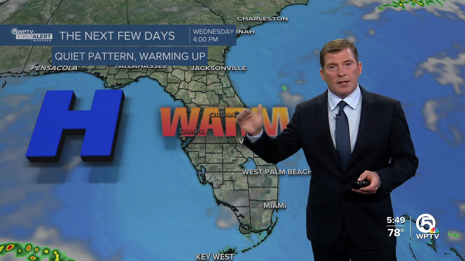


WEST PALM BEACH, Fla. — A weak front will brush by Florida early this week, but it won't bring any meaningful cool down to the Treasure Coast or Palm Beaches.
Instead, temperatures will continue to gradually warm, with highs climbing into the mid-80s by Friday.
Most of the week stays dry, with just a couple of brief coastal showers possible.
MORE WEATHER: Radar | Alerts | 7-Day Forecast | Hourly Forecast
The weak front approaching from the north loses strength as it nears the state, so no rain or big temperature changes are expected.
As the fading front stalls nearby, moisture increases just enough to allow a few quick coastal showers to move in from the Atlantic on Tuesday and Wednesday. These will be brief, light, and mainly along the coast in the morning.
Most inland areas will stay dry, and no measurable rainfall is expected for most neighborhoods.
By Thursday and Friday, high pressure rebuilds and winds turn more easterly. That will help temperatures climb above normal into the mid-80s.
Humidity also nudges up slightly heading into the weekend, but skies remain mostly sunny with no major weather systems nearby.
A strengthening easterly breeze midweek will bring choppier conditions near the coast, especially on Wednesday and Thursday.
Rip currents may remain a concern along the Palm Beaches. Seas stay around 2–4 ft offshore, lower closer to the beach.
Looking ahead to Thanksgiving week, we are trending above normal with temperatures in the lower to middle 80s likely.


