
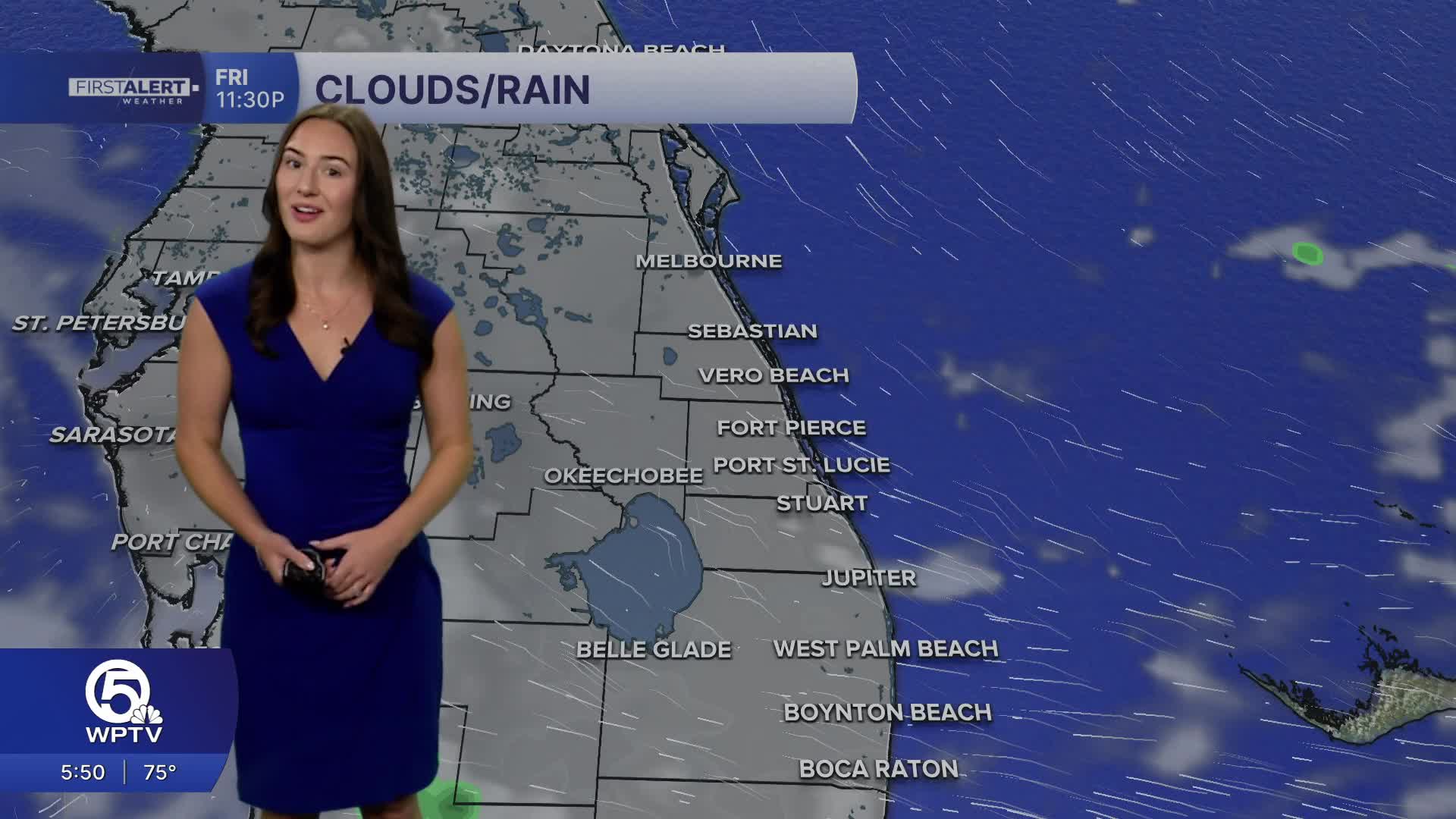


WEST PALM BEACH, Fla. — While we have seen some sunshine late in the day, mostly cloudy skies are expected through Friday. In addition, passing showers are possible overnight and through Friday morning.
Temperatures will start cool in the morning, especially inland, but climb comfortably into the upper 70s along the coast and low 80s farther inland by the afternoon.
MORE WEATHER: Radar | Alerts | 7-Day Forecast | Hourly Forecast
Florida’s weather is settling into a calmer pattern as winds gradually ease through the end of the work week.
Even with the improving weather, beachgoers should stay alert. A high risk of dangerous rip currents continues along area beaches, making swimming conditions hazardous. On the bright side, conditions for boaters are steadily improving, with much more favorable waters expected heading into the weekend. If you're planning time on the water, the weekend will look far more cooperative.

Looking ahead, a warming trend kicks in Friday and continues through the weekend and into next week. Highs will push into the mid to upper 80s, with increasing humidity.
While most areas stay dry, isolated to scattered afternoon thunderstorms could pop up this weekend—mainly driven by sea breeze interactions in the afternoons. These storms will be hit-or-miss, so while you might see lightning nearby, many neighborhoods will stay rain-free as the warmer pattern takes hold.
**Portions of this story were assisted by artificial intelligence tools and reviewed by a WPTV journalist to ensure accuracy, clarity, and adherence to editorial standards.


