
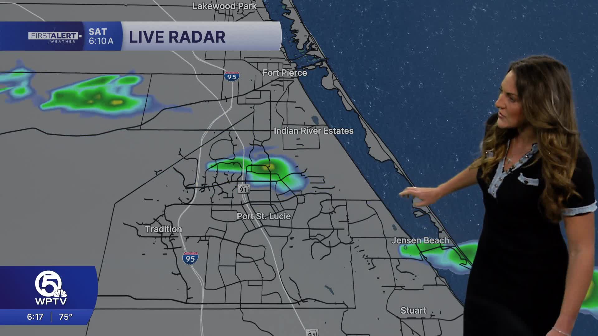


WEST PALM BEACH, Fla. — There could be a spotty shower out there early Sunday morning, otherwise, another beautiful day is expected with a mixture of sun and clouds. Light southeasterly winds will up the dewpoints a tad so it may feel a bit muggy out there from time to time.
If you're heading to the beach, watch the rip currents. Make sure you're swimming on guarded beaches and remember the beach patrol flag system. Red flags mean high hazard and strong currents.
As we head into next week its more of the same, at least through Wednesday. A cold front arrives on Thursday and this may trigger a round of showers and thunderstorms late in the day. Some of that moisture could linger into Friday morning. That's our best chance of seeing any kind of decent rainfall over the next week. With the drought being as bad as it is now, hopefully we'll cash in.
SHORT TERM FORECAST
TONIGHT: Partly cloud with a spotty shower. Low 70.
SUNDAY: Perhaps a spotty shower early. Mostly sunny, warm and a bit humid. High 84.
MONDAY: Mostly sunny and warm. High 85.
TUESDAY: Mostly sunny and warm. High 85.
LONG RANGE FORECAST
WEDNESDAY: Mostly sunny and very warm. High 86.
THURSDAY: Very warm and humid. Late day showers and thunderstorms are possible. High 87
FRIDAY: A morning shower is possible. Otherwise, partly sunny and cooler. High 81.
SATURDAY: Mostly sunny with a spotty shower. High 82.
MORE WEATHER: Radar | Alerts | 7-Day Forecast | Hourly Forecast


