


WEST PALM BEACH, Fla. — As the wind picks up Sunday and humidity drops later in the day, we are watching for critical fire weather conditions through Monday. A Fire Weather Watch will go into effect Sunday afternoon for Okeechobee County and the Treasure Coast, while Palm Beach County's watch will go into effect Monday morning. Any fires that develop will likely spread rapidly.
MORE WEATHER: Radar | Alerts | 7-Day Forecast | Hourly Forecast
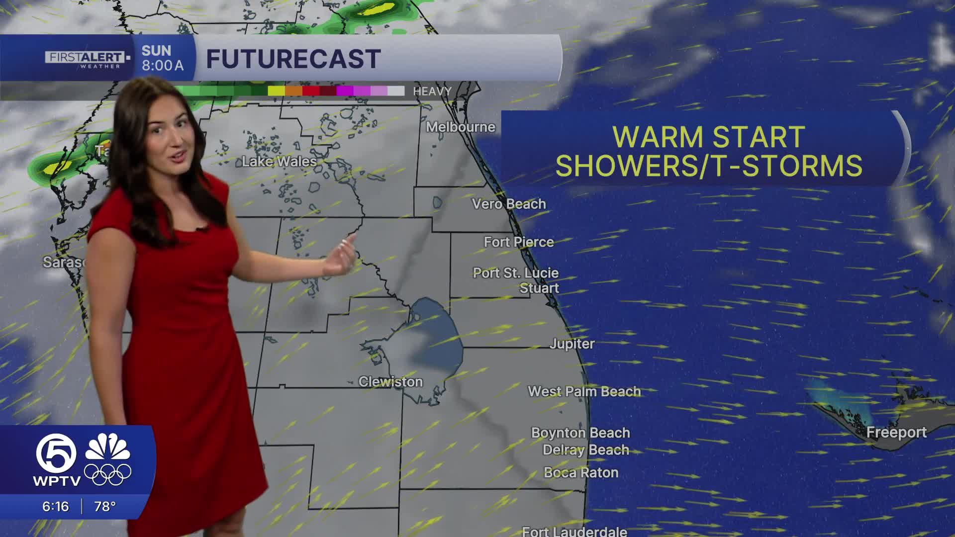
Late tonight into early Sunday morning, patchy fog could redevelop inland before another warm day begins.
Sunday marks the start of a major pattern shift. A strong cold front will move through the region during the afternoon and evening. Ahead of the front, highs across the Treasure Coast and Palm Beaches will surge into the mid to upper 80s.
Scattered showers will develop as the front approaches Sunday afternoon into the evening, moving from north to south. Widespread storms are not expected, but a brief thunderstorm cannot be ruled out.
Behind the front, much colder and drier air will rush into the area Sunday night into early next week. Gusty northwest winds will develop, and temperatures will drop quickly.
By Monday morning, lows will fall into the mid to upper 40s. Afternoon highs Monday will only reach the lower to mid 60s. It will be a dramatic cool down from the weekend warmth.
The coldest air arrives Monday night into Tuesday morning, when inland communities could dip into the mid 30s, with low 40s along the coast. Wind chills early Tuesday morning will make it feel even cooler.
Dry weather returns for the middle and end of the week, with a gradual warming trend beginning Wednesday.


