



WEST PALM BEACH, Fla. — The tropics remain quiet close to home, with no immediate tropical threat to the U.S. However, farther out in the Atlantic there are several areas worth watching.
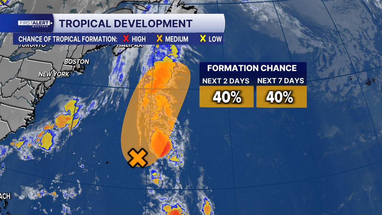
Invest 95L, a broad area of low pressure a few hundred miles east-northeast of Bermuda, continues to produce disorganized showers and thunderstorms. The National Hurricane Center gives the system a 40% chance of development over the next 48 hours and a 40% chance over the next seven days. This system could still become a short-lived tropical depression or storm later today before encountering increasingly hostile conditions tonight and Wednesday, likely ending its chances for development.
Another low has formed in the eastern tropical Atlantic near the west coast of Africa. Conditions appear favorable for gradual development while it moves westward to west-northwestward across the eastern and central tropical Atlantic. The system is likely to become a tropical depression during the next few days. However, conditions could become less conducive for further development by the weekend.

The National Hurricane Center gives that system a 70% chance of development within the next two days and a 70% chance of development over the next seven days.
The next named storm will take the name Dolly.
For South Florida, none of these systems poses an immediate concern, but WPTV will continue watching the disturbances closely.
TRACKING THE TROPICS: Hurricane Center | Hurricane Guide


