
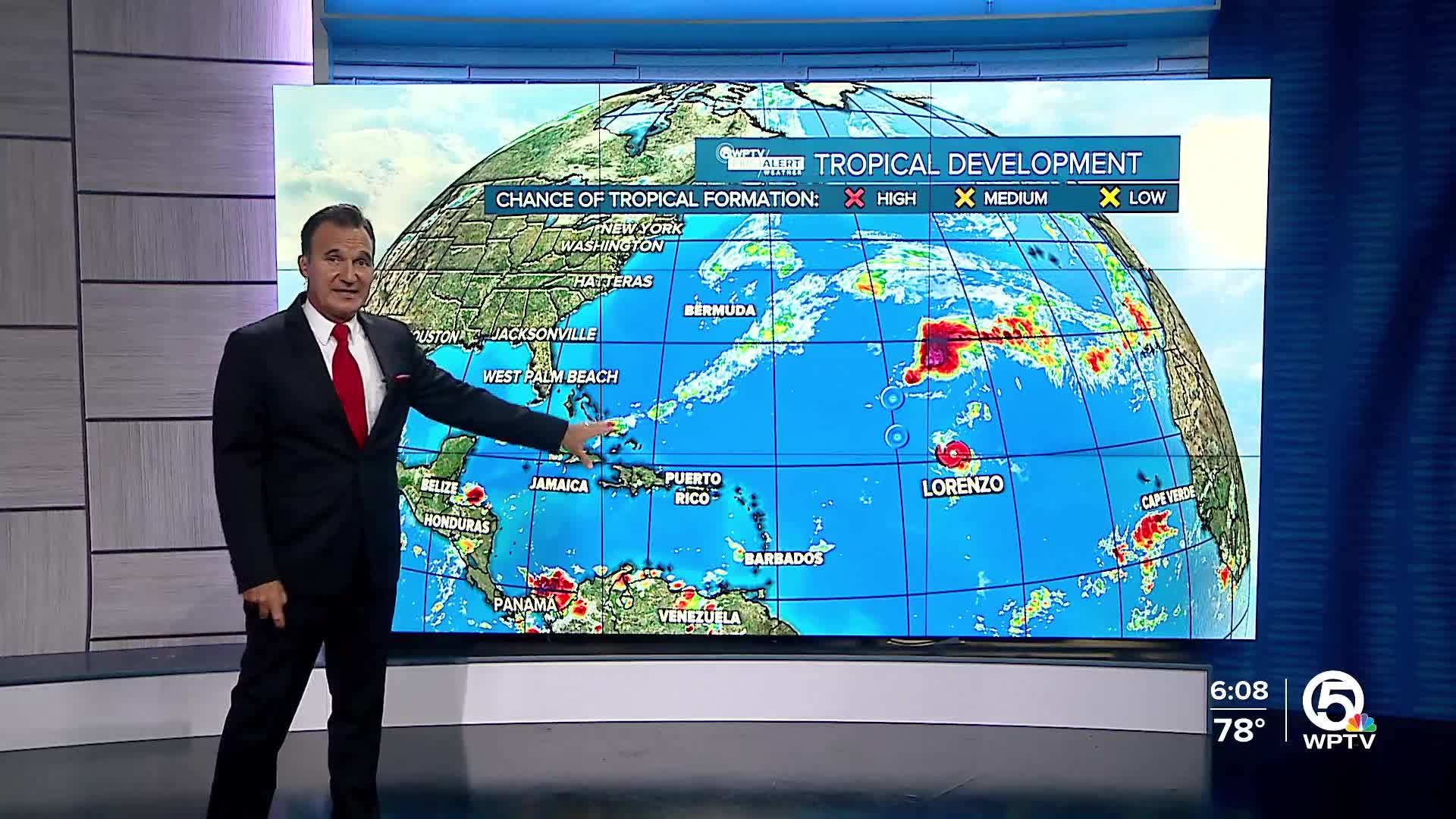


WEST PALM BEACH, Fla. — Lorenzo is currently facing challenges with its convective organization as it moves north-northwest at about 10 knots. While satellite images show a recent burst of convection near the center, this activity has been intermittent throughout the day. Current intensity estimates suggest that the storm is around 35 to 45 knots, but for now, it will be held at 35 knots.

Lorenzo is expected to turn north overnight, circling the western edge of a subtropical ridge. Following this, it will accelerate northeast as it gets caught up in the flow of an approaching trough from the west. The latest track forecast from the National Hurricane Center (NHC) aligns closely with previous predictions.
Drier air and wind shear are taking a toll on Lorenzo, keeping its convection disorganized. As the storm accelerates, it is anticipated to struggle with producing organized convection and maintaining a closed circulation, which could lead to it transitioning into a trough. The NHC’s latest forecast now projects Lorenzo to dissipate within the next 48 hours, although most global models suggest it may weaken even sooner.
TRACKING THE TROPICS: Hurricane Center | Hurricane Guide
*Portions of this story were assisted by artificial intelligence tools and reviewed by a WPTV journalist to ensure accuracy, clarity, and adherence to editorial standards.


