



WEST PALM BEACH, Fla. — The National Hurricane Center is monitoring two tropical waves across the Atlantic basin Saturday morning, but neither currently poses an immediate tropical threat to South Florida.
92L: Development no longer expected
Invest 92L has moved into the southeastern Caribbean Sea and is producing gusty winds along with disorganized showers and thunderstorms.
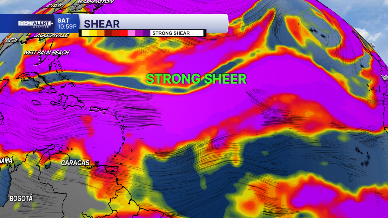
The NHC says development is no longer expected because the system is encountering strong upper-level winds and dry air.
Formation chances have dropped to near 0% through both 48 hours and seven days.
Even without tropical development, the wave can still produce gusty winds and areas of heavy rainfall across portions of the Lesser Antilles today.
94L: Low chance of development
Farther east, the NHC is also monitoring Invest 94L, a tropical wave roughly midway between the Cabo Verde Islands and Lesser Antilles.
Showers and thunderstorms associated with 94L remain disorganized. Some limited development is possible during the next day or two before the wave encounters stronger upper-level winds east of the Lesser Antilles.
The NHC gives 94L a 10% chance of development through 48 hours and seven days.
Neither 92L nor 94L currently poses an immediate threat to Florida, but we'll continue monitoring both systems as they move westward.
Pacific remains active

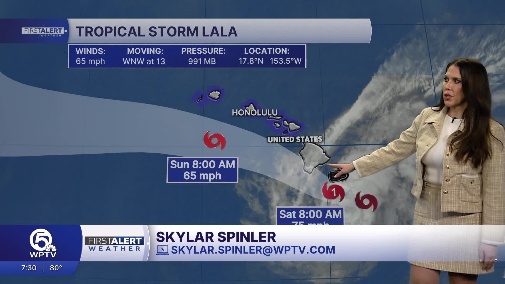
In the Central Pacific, Tropical Storm Lala remains a couple hundred miles east-southeast of Hilo, Hawaii.
The NHC is also issuing advisories on Tropical Depression Hernan, located well west-southwest of Baja California.

Another area of low pressure could form in the western East Pacific by the middle of next week. That system currently has a 30% chance of development over seven days.
TRACKING THE TROPICS: Hurricane Center | Hurricane Guide


