


Tropical Storm Imelda formed in the Caribbean on Sunday afternoon and is continuing to move northward near the central and northwestern Bahamas.

The system is about 55 miles south-southwest of the northwest Bahamas and is sustaining winds of up to 40 mph. It is moving north at 9 mph.
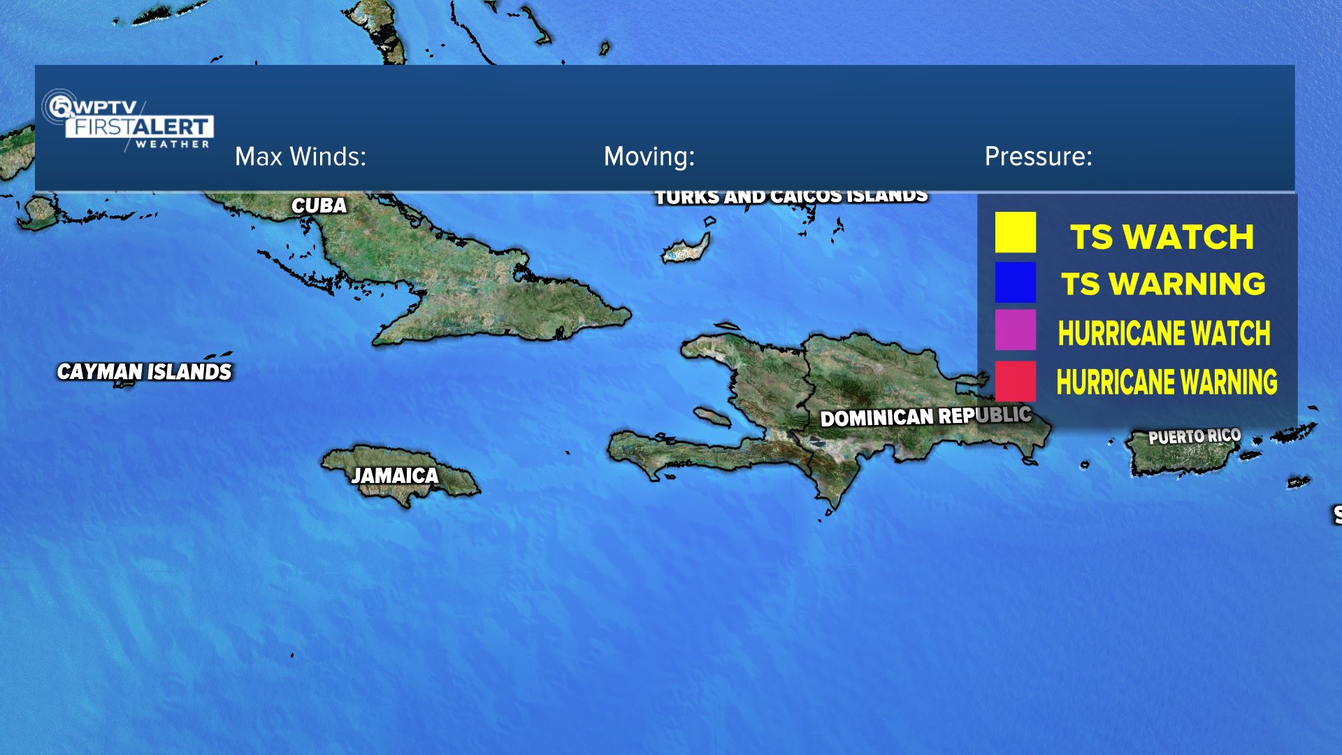
As of the National Hurricane Center's 5 p.m. advisory, the Tropical Storm Watch has been discontinued for the east coast of Florida from the Palm Beach/Martin County line to the Flagler/Volusia County line.
The NHC anticipates the storm to make a faster motion to the north later today through Monday.
TRACKING THE TROPICS: Hurricane Center | Hurricane Guide
Four to eight inches of rain are expected across eastern Cuba and the Bahamas, leading to flash flooding and possible mudslides in higher terrain. The U.S. Southeast, from Florida into the Carolinas, could see 3 to 6 inches of rain with localized totals up to 10 inches, which will raise concerns for flash, urban, and river flooding.
This would be a good time to review their hurricane plans and monitor updates from the National Hurricane Center and local officials.


