



WEST PALM BEACH, Fla. — Subtropical Storm Josephine formed Wednesday afternoon and is forecast to move northeastward away from the United States as a powerful extratropical cyclone.
Josephine has a more asymmetric wind field or lopsided with winds that are spread out more than a tropical system would have. A subtropical system is similar in strength to a tropical system but with colder air and water fueling it.
Impacts are expected along parts of the northeastern U.S. coastline and Canada, including strong winds, coastal flooding and dangerous surf during the next several days.
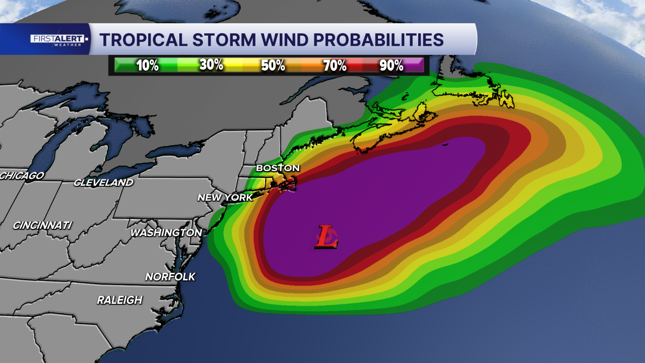
As of the latest advisory, the center of Subtropical Storm Josephine was just under 200 miles south-southeast of Nantucket, Massachusetts.
Josephine has sped up and is moving northeast near 13 mph. On the forecast track, Josephine should move away from the United States and remain just south of Nova Scotia and Newfoundland.
Maximum sustained winds are near 65 mph with higher gusts. Further strengthening is likely by late Thursday with hurricane-strength winds. However, Josephine is expected to lose its subtropical characteristics later today as it moves over cooler waters and interacts with an approaching upper-level system.
TRACKING THE TROPICS: Hurricane Center | Hurricane Guide

There is one other area being monitored by the National Hurricane Center (NHC) for development. Chances stand at 10% due to strong upper-level winds in the forecast this weekend.


