


WEST PALM BEACH, Fla. — The National Hurricane Center is monitoring a developing weather system off the southeastern United States that could acquire subtropical characteristics during the upcoming week.
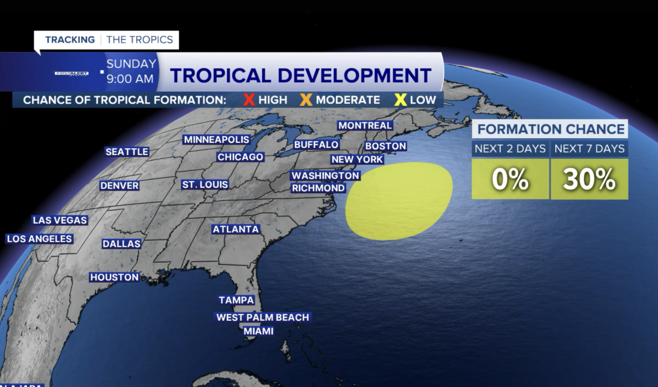
As of 8 a.m. Sunday, October 18, the NHC gives the system a 30% chance of tropical or subtropical development over the next seven days, up from 20% Saturday afternoon.
A powerful non-tropical low-pressure system is expected to form off the Southeast coast Sunday or Sunday night. Forecasters expect it to move slowly and erratically through the middle of the week.
Although development chances remain low, the system could still produce significant coastal impacts.
The NHC warns that strong winds, coastal flooding and dangerous surf are possible along portions of the U.S. East Coast, regardless of whether the system becomes a named storm.
What does this mean for South Florida?
For the Palm Beaches and Treasure Coast, dangerous surf, strong northeast winds and hazardous boating conditions are already major weather concerns.
The strong pressure gradient across the western Atlantic will help maintain rough conditions along our coastline into the new workweek.
Residents should continue monitoring local National Weather Service advisories, especially if planning beach or boating activities.
Could this become a subtropical storm?
It's possible, but far from certain.
Subtropical cyclones share characteristics of both tropical and non-tropical systems. They can produce strong winds and heavy rainfall even without the classic structure of a fully tropical storm.
The NHC currently places the chance of development near zero over the next 48 hours, increasing to 30% over seven days.
The important takeaway is that a system does not need to become tropical to produce dangerous weather.
The First Alert Weather team will continue tracking the developing low and its potential impacts along the East Coast.
TRACKING THE TROPICS: Hurricane Center | Hurricane Guide


