


WEST PALM BEACH, Fla. — Tropical Storm Erin is gaining strength, with max sustained winds now at 70 mph as the storm moves west-northwest at 17 mph. Erin is expected to become a hurricane by this afternoon.
By tomorrow afternoon, the storm will be a Category 2 hurricane, and eventually a Category 3 going into Sunday morning.

The National Hurricane Center now forecasts Erin to become a Category 4 hurricane by Monday.
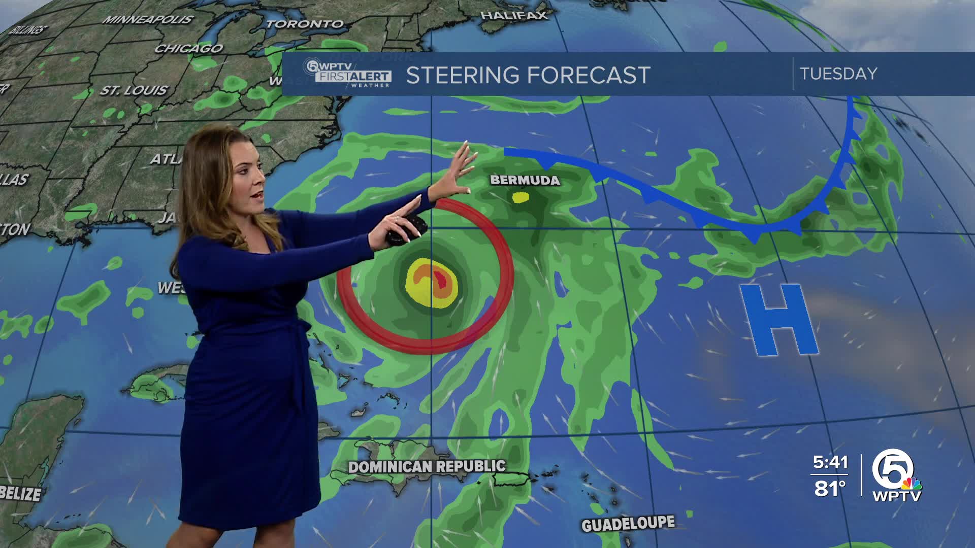
So far, the cone is not over land; however, there could still be some indirect impacts for the northward Leeward Islands and Bermuda. These areas are under a Tropical Storm Watch.

The turn to the north is still expected thanks to a weakness in a high-pressure system due to a front that is coming off the east coast of the United States.
We could see large swells impact our coast next week, with increasing rip currents and dangerous beach conditions starting Tuesday until Friday.
TRACKING THE TROPICS: Hurricane Center | Hurricane Guide
An area in the Gulf has a medium chance of developing. It will eventually move into Mexico/South Texas over the weekend and not impact our weather here in South Florida.
It is a good time to review hurricane plans and make sure you're prepared as we head into the peak months of hurricane season.


