

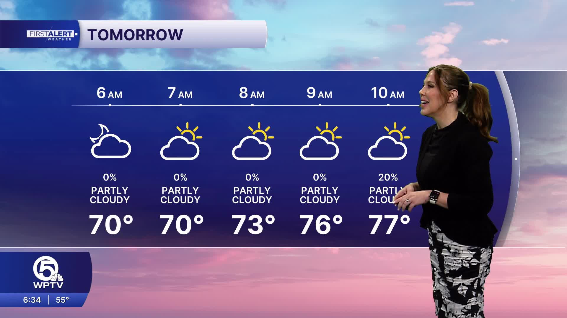


WEST PALM BEACH, Fla. — We're wrapping up the weekend with another beautiful day across the area. After a chilly morning with temperatures in the low 50s inland, we warm into the mid to upper 70s this afternoon. Expect plenty of sunshine, a few passing clouds and generally dry conditions.
If you're heading to the Stuart Air Show, the weather looks fantastic, with mostly sunny skies and temperatures near 77 degrees during the afternoon performances.

Changes begin Monday as high pressure builds to our north, strengthening northeast winds and bringing more moisture off the Atlantic. Expect breezy conditions, increasing clouds and scattered showers, especially along the coast. Afternoon highs will reach the upper 70s to near 80 degrees. By Tuesday, rain chances increase further as a developing weather system near the Bahamas helps create a more unsettled pattern across eastern part of Florida.
MORE WEATHER: Radar | Alerts | 7-Day Forecast | Hourly Forecast
The biggest concern this week will be the potential for hazardous beach and marine conditions and periods of heavy rainfall. Tuesday through Thursday, strong onshore winds could produce dangerous rip currents, pounding surf and minor beach erosion. Offshore seas along the Treasure Coast could build to 8–11 feet by midweek.


