


WEST PALM BEACH, Fla. — Everything is still on track for our severe weather threat on Tuesday. Timing is starting to get narrowed down some:
6-8 p.m.: Isolated strong/severe storms out ahead of the main line that could spawn a tornado or two.
8-10 p.m.: A strong line of thunderstorms moves through the Treasure Coast.
9 p.m.-midnight: Line moves through Palm Beach County.
Midnight-1 a.m.: Severe threat ends, partial clearing and colder air moves in the rest of the night.
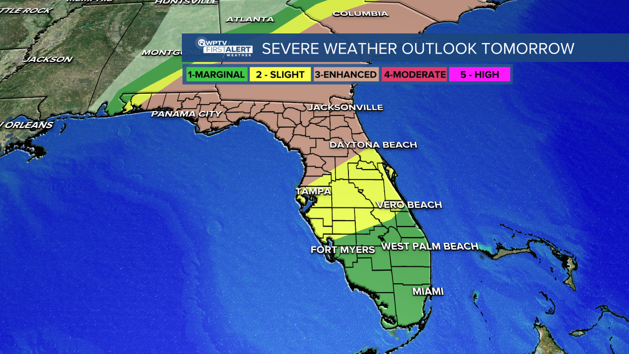
In general, the line will be weakening as it moves south and east.
Impacts include damaging straight-line winds of 50-70 mph and isolated tornadoes.
No big flooding threat as the line will be moving fast and only affecting one particular area for a couple of hours at most.
A wind advisory is in effect from 10 a.m. to 7 p.m. Tuesday.
A tornado watch is likely at some point north of our area.
MORE WEATHER: Radar | Alerts | 7-Day Forecast | Hourly Forecast
Once the storms clear, much cooler and drier air will push in behind the system for Wednesday.
By Thursday, a few showers will move in. And then we'll have another front come through on Saturday. That will cool some spots into the 40s by Sunday morning.
Florida Gov. Ron DeSantis activated the Florida State Guard ahead of the severe weather threat.


