

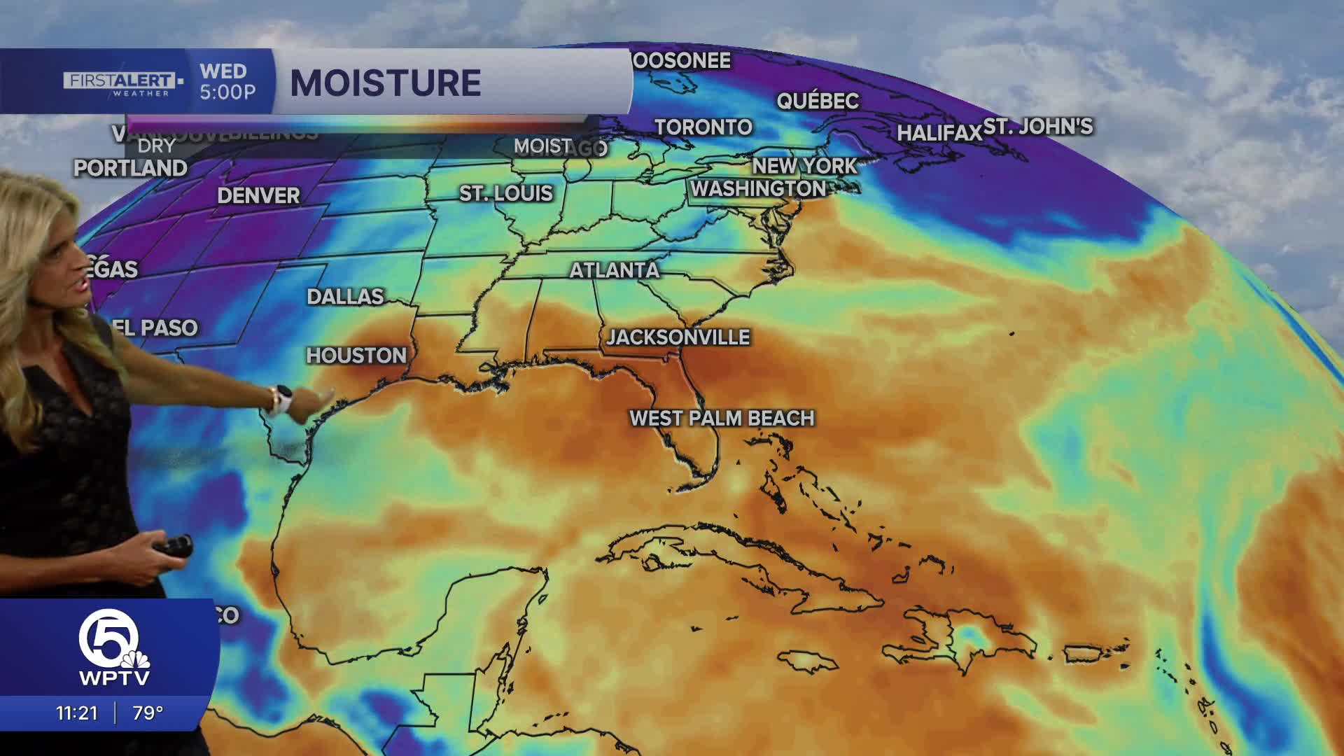


WEST PALM BEACH, Fla. — Deep tropical moisture in place will continue our stormy pattern as we head into Monday. Wake-up temps start in the mid 70s to near 80 degrees under partly cloudy skies.
A few showers and storms are possible near the coast during the morning before activity becomes more widespread later in the day.
MORE WEATHER: Radar | Alerts | 7-Day Forecast | Hourly Forecast
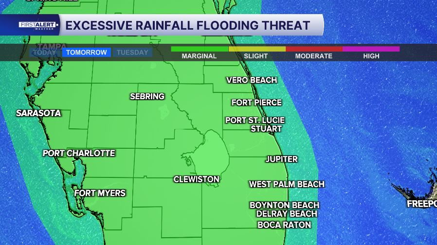
As the sea breeze moves inland, the focus for thunderstorms will gradually shift toward the interior during the afternoon and evening. The biggest threat with storms on Monday will be the possibility of localized flooding - especially in low-lying and urban areas.
We are under a marginal risk of excessive rainfall ( level 1 out of 4) on Monday
Remember not to drive through flooded roads. Turn around don't drown.
Rain chances are around 60% for the Palm Beaches, with scattered storms also expected across the Treasure Coast.
A few stronger storms could produce gusty winds, frequent lightning and torrential downpours. Our chance of seeing any severe storms drops due to some slight warming of the mid levels of the atmosphere.
MORE WEATHER: Radar | Alerts | 7-Day Forecast | Hourly Forecast
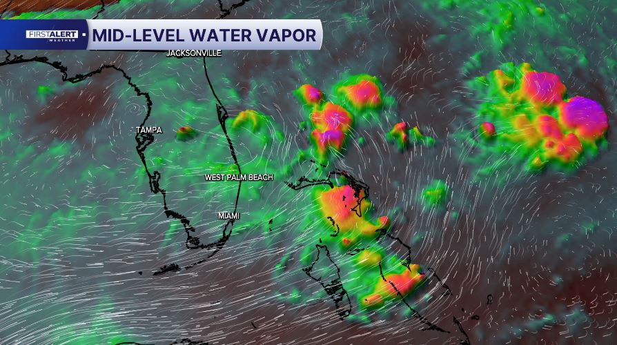
While all of South Florida will see widespread storms through most of the week - the highest coverage will be across interior areas and the southwest coast.
Due to the additional cloud cover and rain - temps will stay near average for this time of year around 90 degrees. Feels-like temps will peak in the low 100s most days.
Seas stay around 2 feet for the boaters with a moderate risk of rip currents at local beaches. When you are spending time outdoors this week - keep an eye to the sky and when thunder roars - head indoors!


