


WEST PALM BEACH, Fla. — Isolated downpours are still possible through the night. It will stay muggy overnight with lows in the mid-upper 70s.
MORE WEATHER: Radar | Alerts | 7-Day Forecast | Hourly Forecast
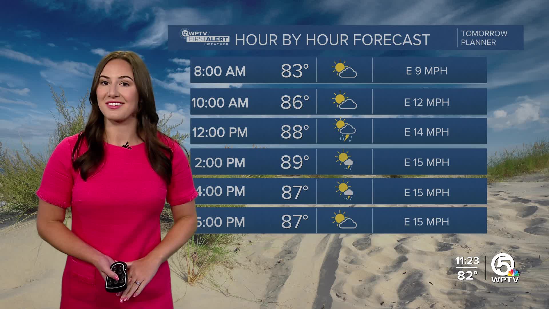
We keep a humid and slightly breezy trend as we head into this upcoming week. High temperatures stay in the upper 80s to near the lower 90s.
On Monday, expect a few isolated showers near the coast in the morning along with a couple of afternoon inland storms. It won't be a washout, but may be a good idea to have an umbrella handy if you are planning to be out and about.
Monday and Tuesday will be breezy at times with the wind coming from the east as high pressure moves towards the peninsula. It will help lower our rain chances a bit through the middle half of the work week.
The latter end of the week will have higher rain chances due to a low-pressure system settling offshore of the Mid-Atlantic.
WATCHING THE TROPICS

In the Atlantic, the National Hurricane Center has highlighted an area of low pressure near Bermuda with a 40% chance of showing tropical characteristics within the next day or so. By Tuesday, the low is expected to enter cooler waters with high wind shear, which will squash its chance for further development.


