
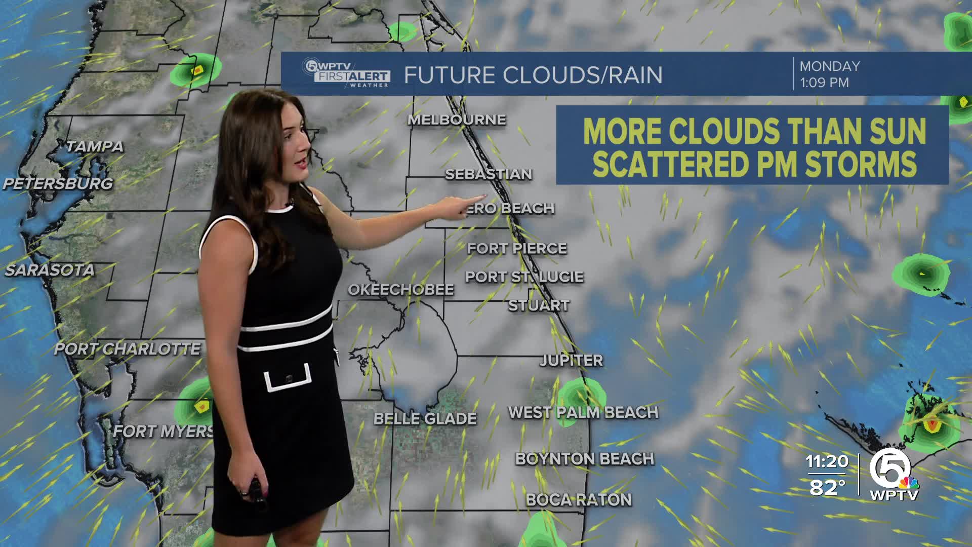


WEST PALM BEACH, Fla. — Monday will most likely be the hottest day of the week with feels-like temperatures in the triple digits. Scattered storms are in the forecast along with a mix of sun and clouds. Most of the storms will be along the coast due to the sea breeze setup in the afternoon.
Tuesday the rain chances become more isolated and shift further inland. It will still be hot with highs in the lower 90s and triple digit heat indices.
MORE WEATHER: Radar | Alerts | 7-Day Forecast | Hourly Forecast
Wednesday will be a similar pattern to Tuesday.
As we near the following weekend, rain chances start to increase. A weak upper level low will likely increase instability and bring us the moisture to trigger more widespread showers and storms and help out the drought.
TROPICS
Chantal made landfall as a tropical storm on Litchfield Beach, SC Sunday morning. It continues to weaken over land and is now a tropical depression. Chantal continues to produce heavy rainfall over the Carolinas and Virginia through Monday.


