



WEST PALM BEACH, Fla. — Look for a dry start to Monday with mostly sunny skies early and partly cloudy skies during the afternoon.
Rain chances decrease Monday as some drier air works into the area.
The Treasure Coast is looking at only about a 20-30% chance for afternoon storms Monday, with slightly higher chances returning Tuesday.
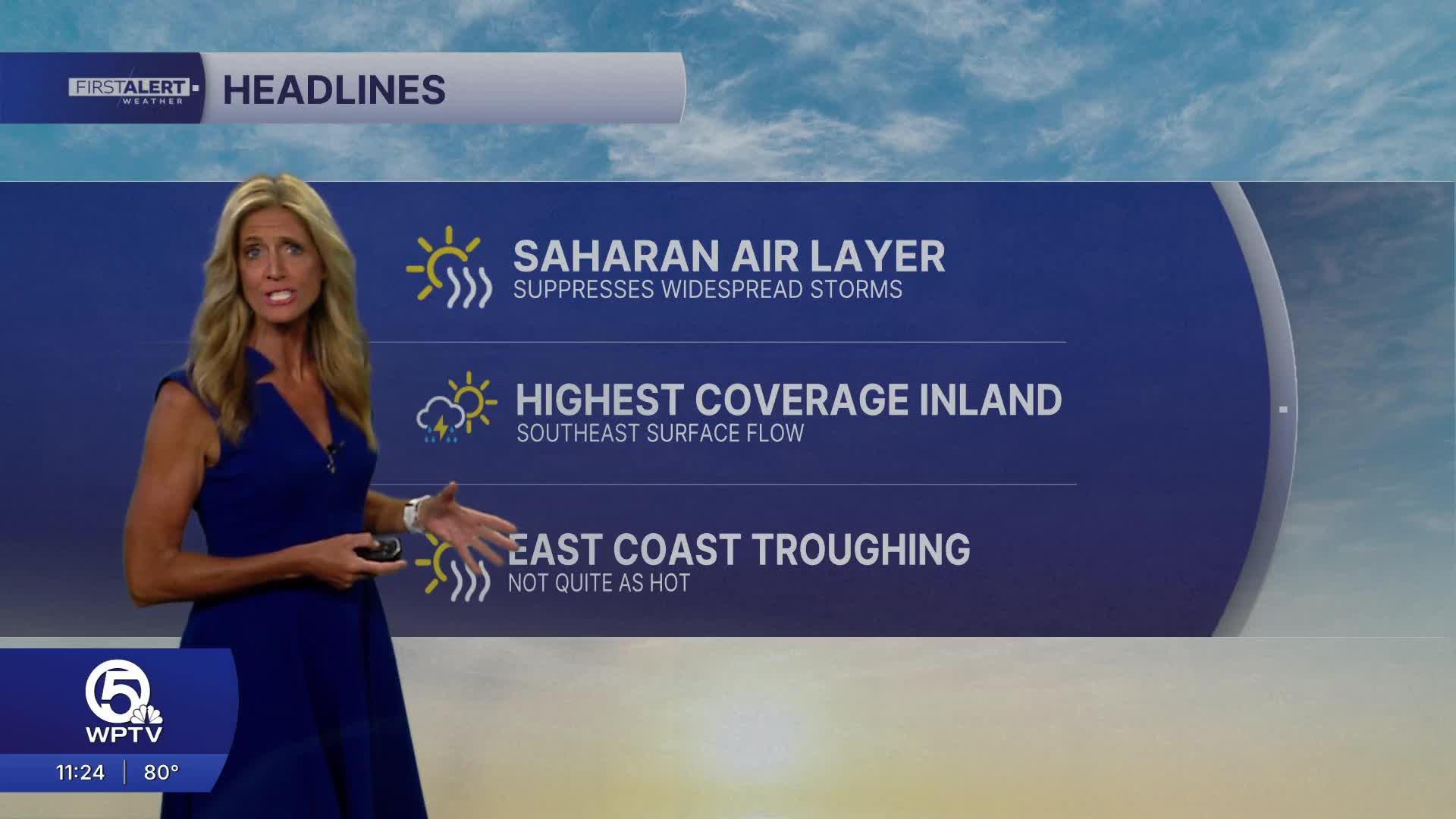
A Saharan air layer will help suppress storm coverage. However with dry air in the mid/upper levels of the atmosphere- any storm that does develop and break through the "cap" of drier air could be strong to severe.
While temperatures aren't quite as extreme as the record-challenging heat we experienced last week, don't put away the water bottle just yet.
Highs will generally reach the low to mid-90s Monday. Humidity will push peak heat index values into the 100-105 degree range across much of the area, with some locations briefly reaching 105-110 degrees.
MORE WEATHER: Radar | Alerts | 7-Day Forecast | Hourly Forecast
By Wednesday, deeper moisture returns and we'll transition back toward our more typical summertime setup, with daily afternoon showers and thunderstorms continuing through the second half of the week.
Boating conditions stay nice to start the workweek with south winds between 5-10 and seas around 1-2 feet.


