



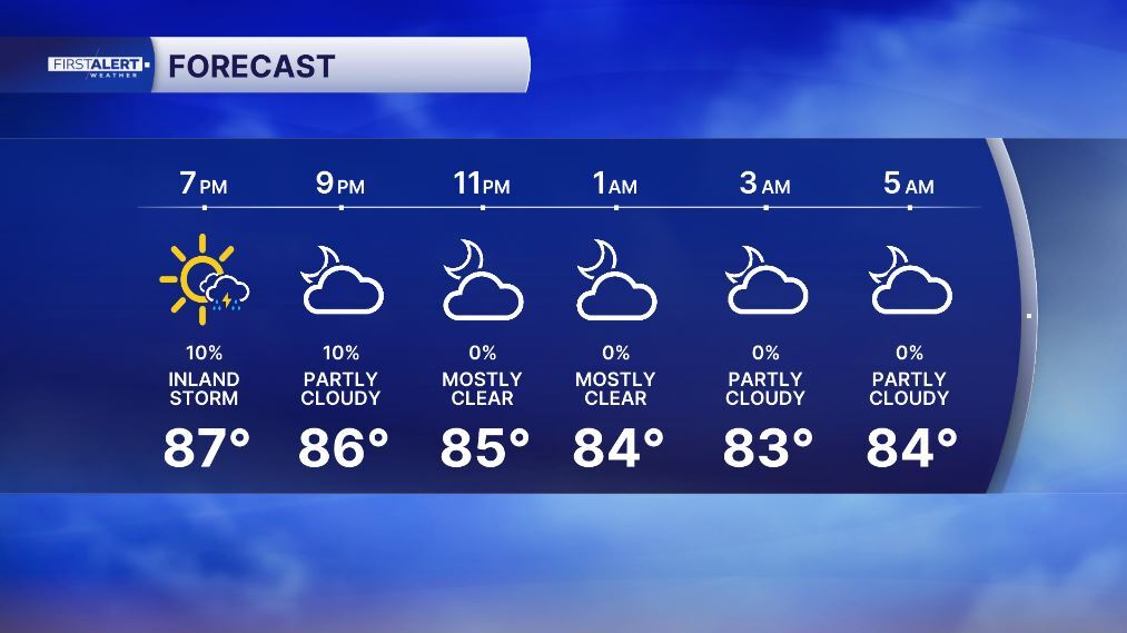
WEST PALM BEACH, Fla. — Wake-up temps Sunday morning start in the upper 70s to near 80 degrees.
We'll likely see a few coastal showers Sunday morning with activity quickly pushing inland through the day.
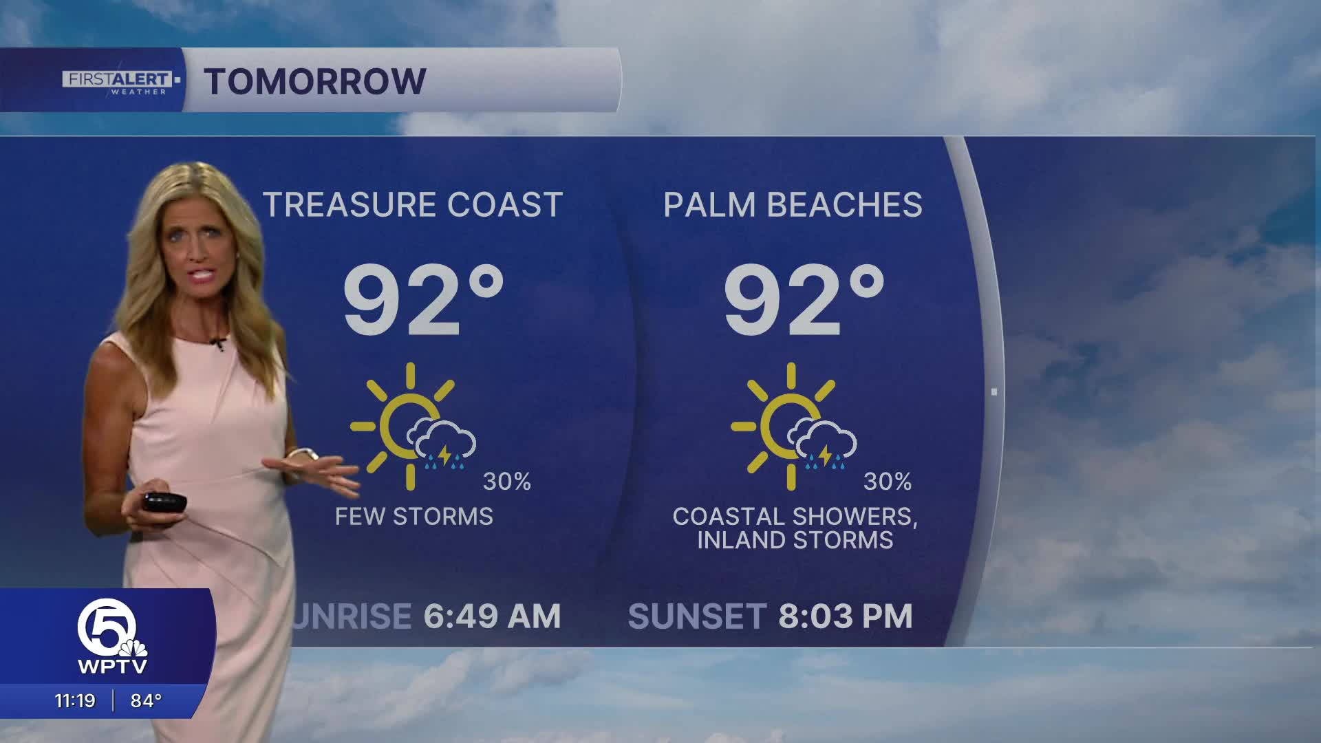
Rain coverage stays low for this time of year at 30% for Sunday.
High temperatures will climb into the lower 90s Sunday, with heat index values reaching 101 to 107 degrees. Be sure to stay hydrated and take frequent breaks if you're spending time outdoors.
MORE WEATHER: Radar | Alerts | 7-Day Forecast | Hourly Forecast
A High Risk of rip currents continues along Atlantic beaches Sunday, making dangerous swimming conditions likely. If you're heading to the beach, swim only at at guarded beach and stay out of the water if red flags are flying.
Boating conditions remain generally favorable outside of thunderstorms, but any storm over the water can quickly produce dangerous lightning, gusty winds, and rough seas.
We are looking at a drier workweek ahead with rain chances hovering around 20%. Saharan air looks to move in for mid-week; bringing us hot and hazy weather.


