

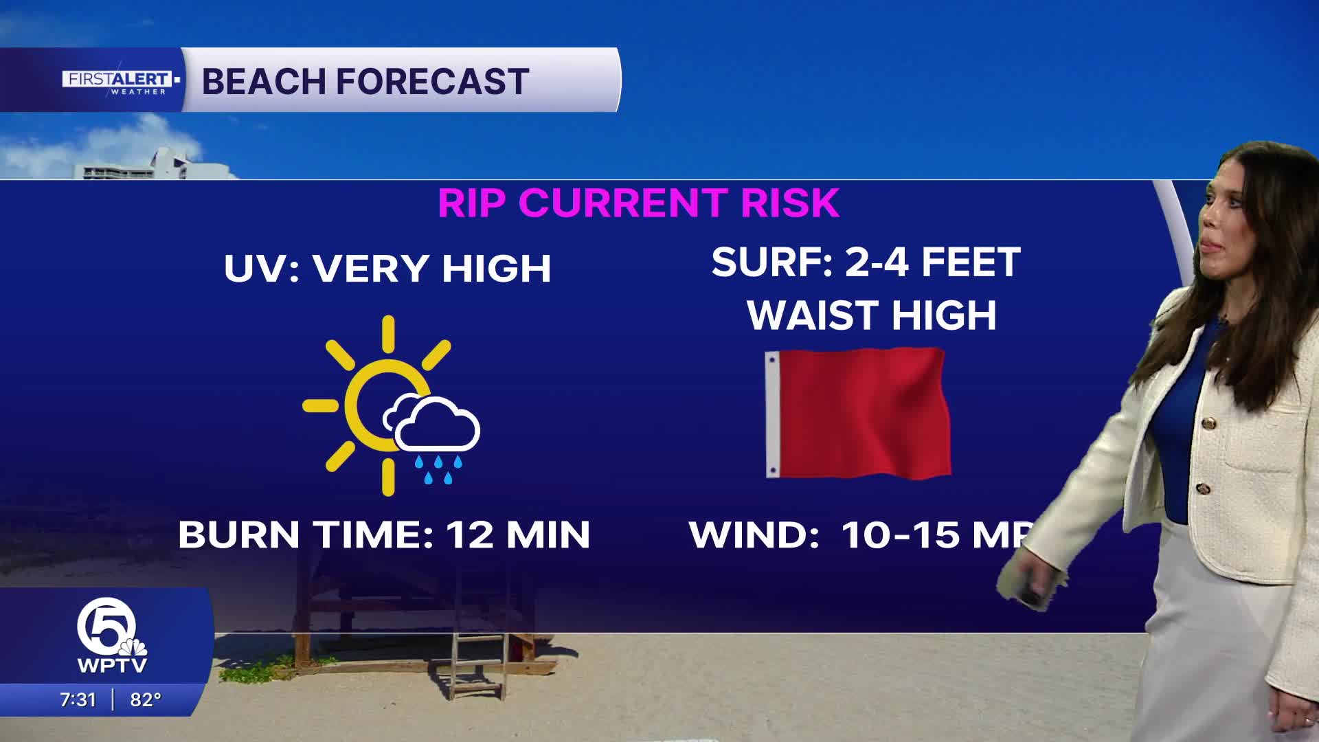


WEST PALM BEACH, Fla. — If you’re wrapping up the weekend outdoors, today will offer plenty of dry time across the Palm Beaches and Treasure Coast. Only isolated showers are expected near the coast, with the better chance for afternoon storms farther inland. The bigger concern will be the heat, with highs near 90 degrees and heat index values reaching the low 100s.
A high risk of rip currents also continues so use extra caution if your Sunday plans include heading to the beach.
If you’re traveling today or tomorrow keep an eye on the weather across the Southeast. A developing storm system and approaching cold front will bring increasing showers and thunderstorms from the Southeast into Florida, which could lead to weather-related flight disruptions at major connecting airports such as Atlanta. Here at home, Monday marks the beginning of our transition to a wetter pattern, with rain chances increasing through the day due to the front working it's way towards us.
MORE WEATHER: Radar | Alerts | 7-Day Forecast | Hourly Forecast
By Tuesday, widespread showers and thunderstorms become likely across South Florida, with the wet and unsettled pattern expected to continue through much of the workweek. Repeated rounds of heavy rain could lead to localized flooding, particularly as the ground becomes increasingly saturated.


