


WEST PALM BEACH, Fla. — A cold front pushing through South Florida will usher in windy and cooler conditions for the workweek.
Overnight lows drop into low to mid 60s for most with some upper 50s possible by the lake Okeechobee.
MORE WEATHER: Radar | Alerts | 7-Day Forecast | Hourly Forecast
After a warm and muggy Sunday, a big change take effect overnight into Monday morning. Behind the front, northerly winds will increase quickly - with the highest gusts being felt at the immediate coastline.
Gusts along the coast could reach up to 35 mph at times. Other than a stray, isolated shower - we'll stay mainly dry through the first half of the workweek.
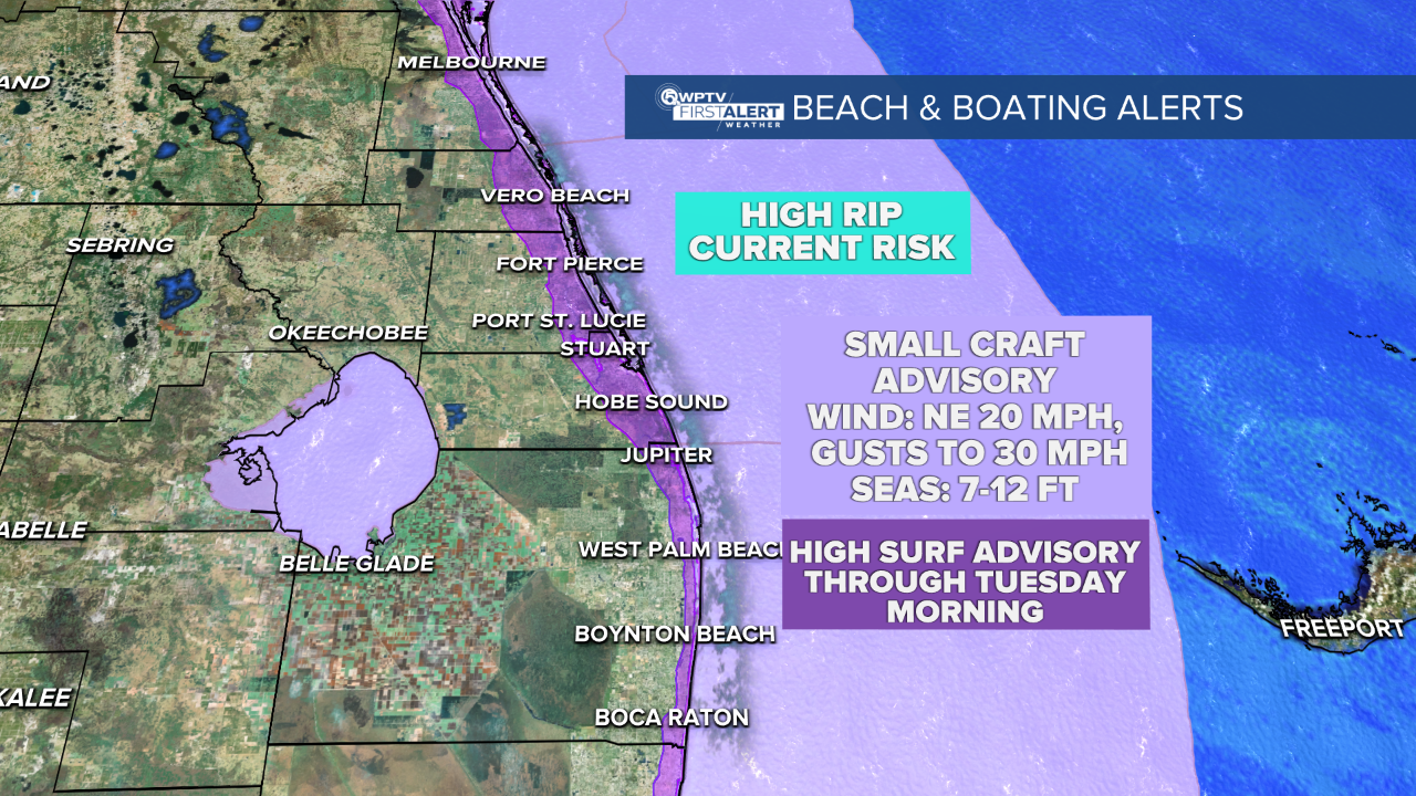
With gusty winds expected all day Monday - Small Craft Advisories, High Surf Advisories and a High Rip Current Risk are in effect through Monday night. Seas could build significantly offshore near 7'-12' making travel unsafe for smaller vessels.
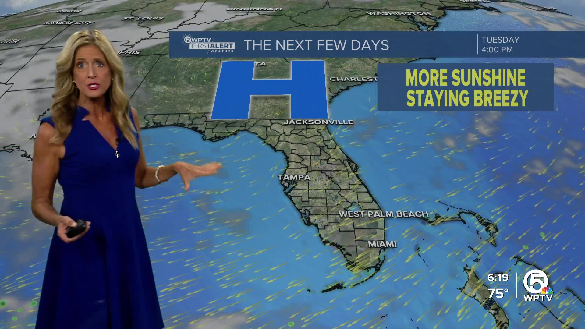
Monday will be our coolest day - with temps starting to rebound on Tuesday into Wednesday.
High pressure will be our dominant weather feature this week - giving us mainly dry and seasonably warm weather - once we get past Monday.
Another cold front moving into the southeast late week could slightly enhance our chance for rain by Thursday.


