

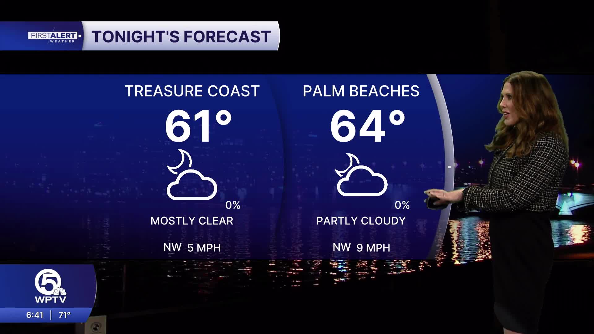


WEST PALM BEACH, Fla. — After an active Saturday across South Florida, we are finally getting a much-needed break from the rain. A weak cold front is moving south across Florida leaving drier air that will gradually settle into the region, bringing improving conditions throughout the day. A few lingering showers remain possible near the Palm Beach County coastline, but the Treasure Coast should stay mainly dry.
Afternoon temperatures will reach the lower 80s across the Palm Beaches, with highs around 80 degrees along the Treasure Coast.
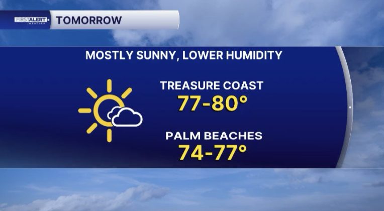
Monday looks even better, with sunshine, dry conditions and slightly cooler temperatures in the upper 70s.
Dangerous rip currents remain a concern along area beaches, especially the Treasure Coast.
Unfortunately, our break from the unsettled weather won't last very long. Another disturbance will move out of the southwestern United States and toward the Gulf Coast by Tuesday, while an area of low pressure and another frontal boundary approach us. Scattered showers and thunderstorms back into the forecast Tuesday into Wednesday, with Wednesday shaping up to be the most active day of the week. Forecast models are still showing differences in the development and track of the low-pressure system, but some locations could experience locally heavy rainfall. With soils already saturated from last week's storms, additional flooding will be a concern, particularly in low-lying and poorly drained areas. We're also watching the return of king tides, which could produce minor coastal flooding beginning Tuesday along the Palm Beaches and Wednesday along the Treasure Coast.
The good news is that this next weather system is expected to move through Florida much faster than some of our recent disturbances. Showers and thunderstorms should begin shifting offshore Wednesday night into early Thursday as the frontal boundary moves east of the peninsula.
MORE WEATHER: Radar | Alerts | 7-Day Forecast |
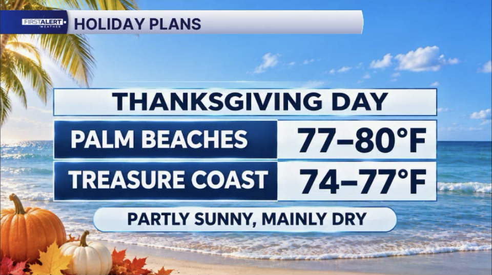
Thanksgiving is looking much more promising, with drier air returning and a mix of sunshine and clouds expected throughout the day. Afternoon temperatures will generally reach the upper 70s to lower 80s across the Palm Beaches, with highs in the middle to upper 70s along the Treasure Coast.


