


WEST PALM BEACH, Fla. — Patchy, dense fog is possible early Monday morning in the Treasure Coast and Okeechobee County. If you encounter fog while driving, make sure you are leaving plenty of space between you and other cars and don't use your brights. The fog will lift by 8-9 a.m.
A weak front continues to slide into northern and central Florida. Winds may briefly shift out of the north or northwest, but no true cool air makes it this far south. A couple of isolated, light showers could pop-up on Monday but most spots will stay dry. Highs stay warm and seasonable in the low to mid-80s
MORE WEATHER: Radar | Alerts | 7-Day Forecast | Hourly Forecast
South Florida stays locked into a warm and mostly quiet pattern as we head into the days leading up to Thanksgiving.
Tuesday and Wednesday, moisture creeps up just enough for a slightly more humid feel, and “feels-like” temperatures could reach the upper 80s to low 90s each afternoon. Most of the area stays dry, but a couple of light coastal showers aren’t out of the question.
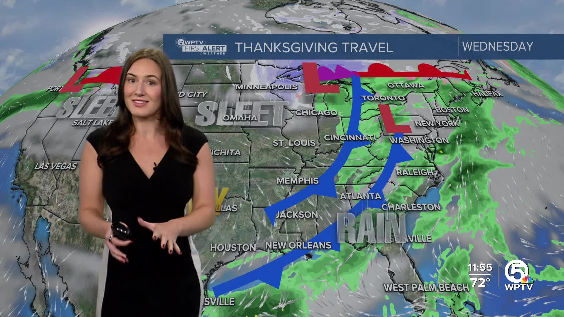
The big weather change arrives toward Thanksgiving Day, when a stronger cold front approaches from the north. We’ll see an uptick in clouds and spotty showers.
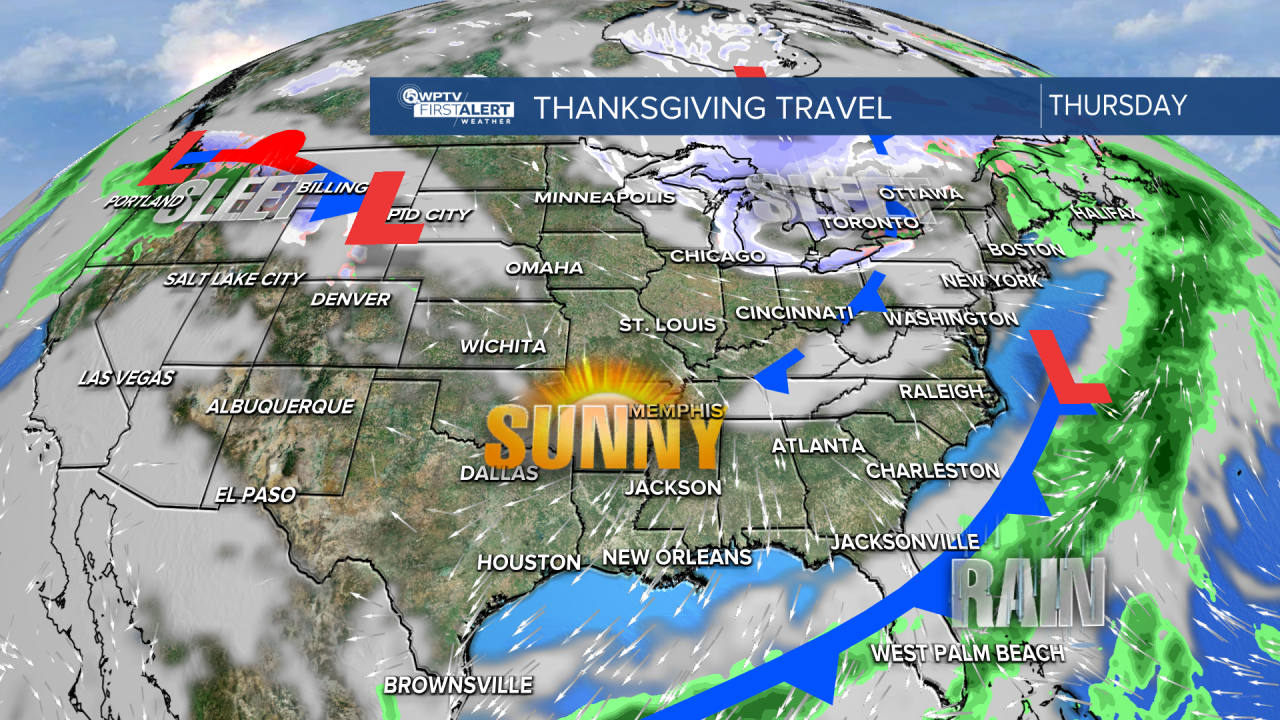
Behind the front, temperatures may cool slightly heading into Black Friday, with highs falling into the upper 70s and nighttime lows dipping into the upper 50s for the Treasure Coast and mid-60s for the Palm Beaches.
During the holiday weekend, moisture creeps in from the south and rain chances increase— as the same front that passes on Thanksgiving begins to drift back up north.


