


WEST PALM BEACH, Fla. — If you’re headed to the beach or planning a boat trip along Florida’s east coast, you’ll want to take note as persistent onshore winds are creating poor to hazardous beach and boating conditions that will last through much of the week.
A moderate to high risk of rip currents is in place at all area beaches, and the surf will remain rough as seas build offshore. Swimmers are urged to stay near lifeguards, and small craft operators should use extreme caution as winds increase and seas climb as high as 7 feet in some offshore waters.
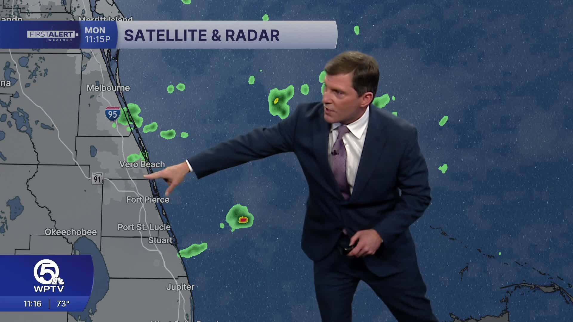
MORE WEATHER: Radar | Alerts | 7-Day Forecast | Hourly Forecast
Rain chances will also tick up as the week goes on. Starting mid-week, deeper Atlantic moisture moves in, bringing a daily 30% chance of showers and the possibility of isolated lightning storms.

Spotty showers may develop over the Atlantic and push inland during the afternoons and early evenings.
Meanwhile, temperatures are on the rise. Afternoon highs will start in the upper-70s to low 80s, then warm into the low to mid-80s by late week.
Coastal spots may stay a touch cooler thanks to the steady ocean breeze, while inland areas feel the full effect of the warming trend.
Overnight lows will settle into the mid 60s to near 70, making for mild evenings.
**Portions of this story were assisted by artificial intelligence tools and reviewed by a WPTV journalist to ensure accuracy, clarity, and adherence to editorial standards.


