

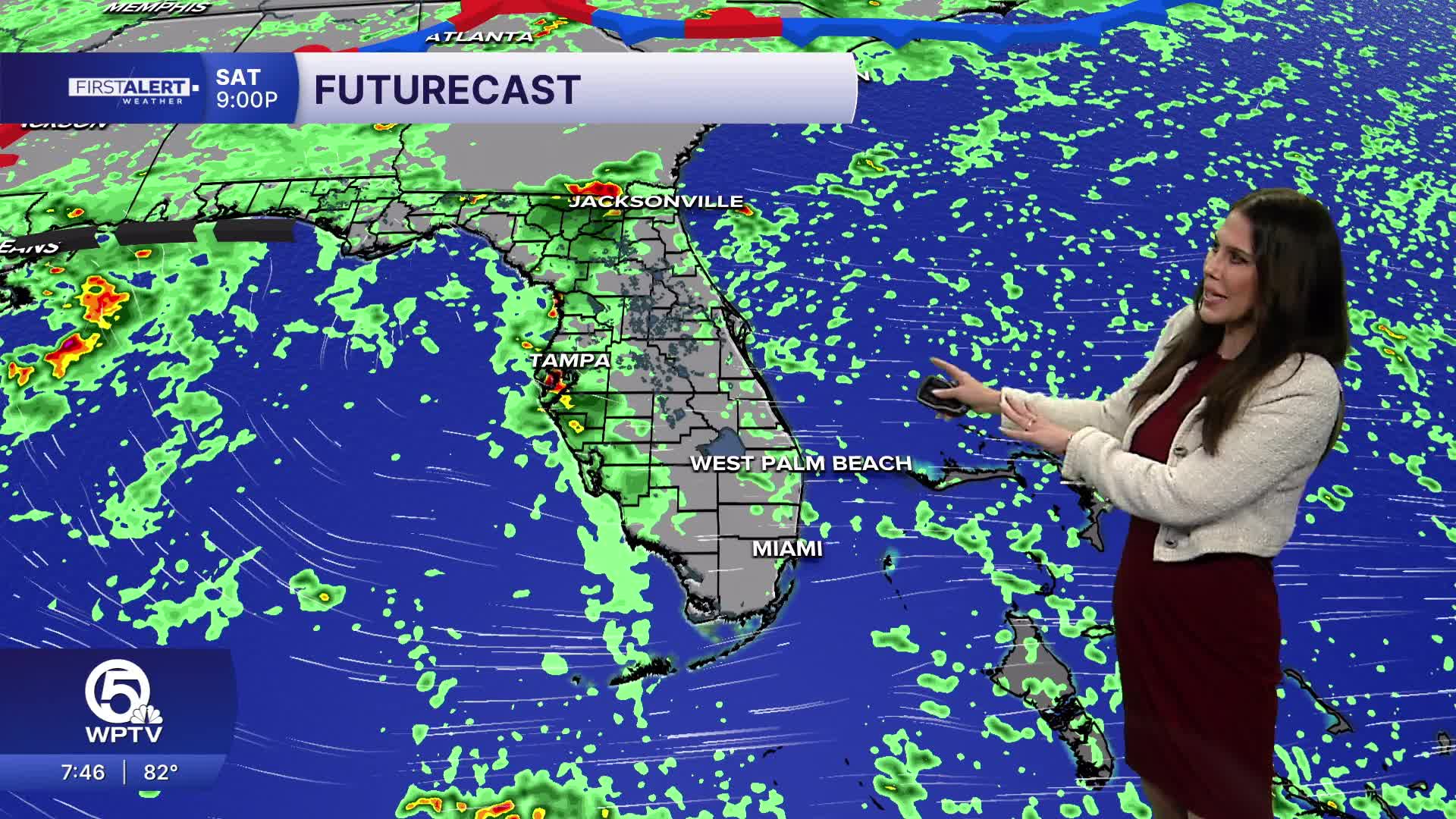


WEST PALM BEACH, Fla. — Today will be a warm, humid, and breezy Saturday with temperatures climbing into the upper 80s to near 90 and heat index values reaching around 100 degrees or higher.
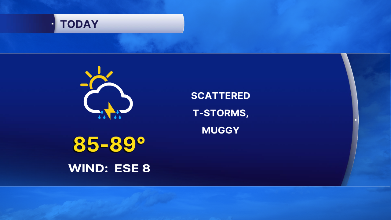
An east-to-southeast wind will continue to bring some showers in from the Atlantic this morning, especially along the Treasure Coast. As the day progresses, the focus for showers and thunderstorms will gradually shift inland, leaving more breaks closer to the coast.
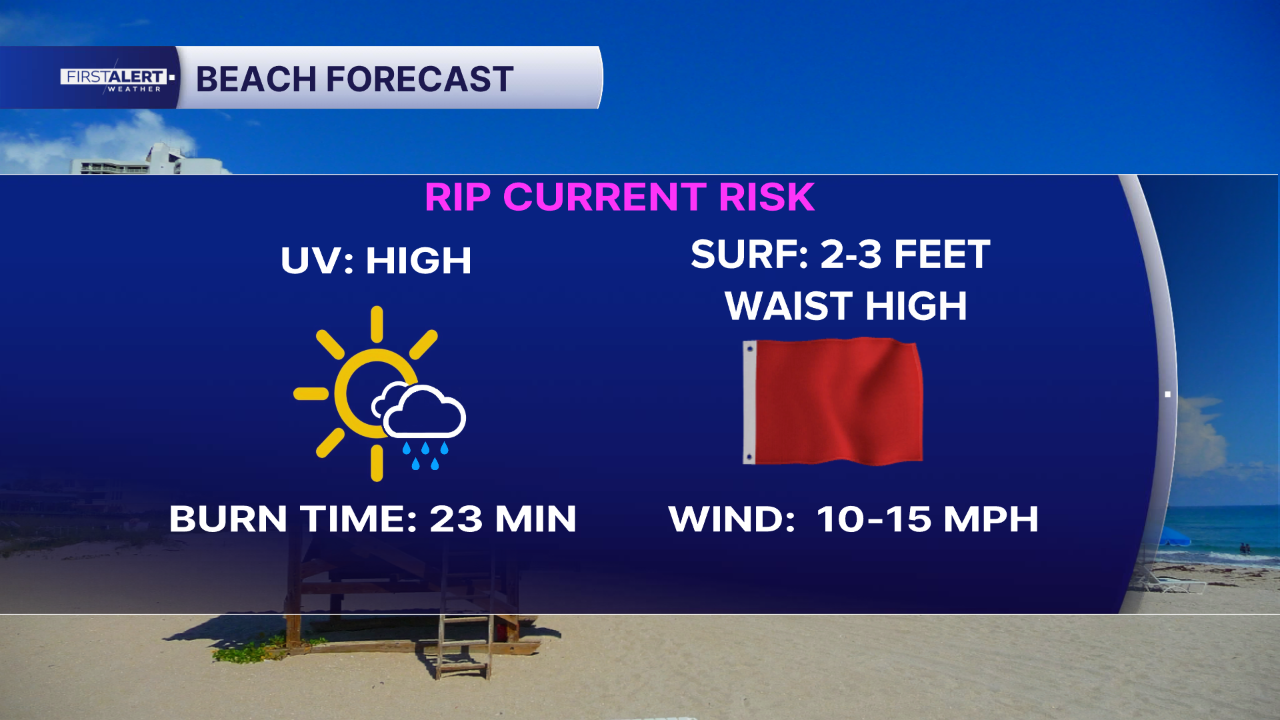
A high risk of rip currents remains along Atlantic beaches through this evening.
Tomorrow brings another summer-like day with highs in the upper 80s to near 90. Plenty of dry time is expected, especially closer to the coast, but increasing moisture will support scattered showers and thunderstorms. With the east-to-southeast flow continuing, activity will generally develop near the coast before pushing farther inland during the afternoon. Heat index values could once again reach 100 degrees or higher.
MORE WEATHER: Radar | Alerts | 7-Day Forecast | Hourly Forecast
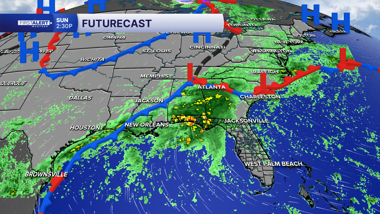
This week a noticeably wetter and more unsettled pattern develops as we head into the workweek. Rain chances begin increasing Monday as a trough and frontal boundary approach the state, with widespread showers and thunderstorms becoming more likely Tuesday and continuing through much of the week. Heavy downpours and localized flooding could become concerns, especially in areas that have already received significant rainfall.


