



WEST PALM BEACH, Fla. — Today starts warm and muggy, with temperatures climbing into the upper 80's /lower 90s across much of the Palm Beaches and Treasure Coast. A few locations could get into the mid-90s.
The humidity will make it feel even hotter, with peak heat index values between 99 and 107 degrees before thunderstorms provide some relief.
Rain chances generally range from 30% to 50% across the Palm Beaches and Treasure Coast, with storms becoming more likely during the afternoon.
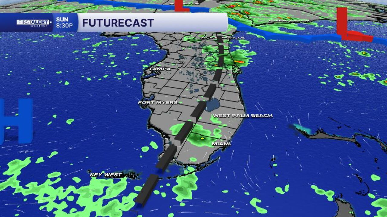
Light west to southwesterly winds will keep the Atlantic sea breeze closer to the coast. As thunderstorms develop across the peninsula, some activity may work back toward the East Coast later in the afternoon and early evening.
MORE WEATHER: Radar | Alerts | 7-Day Forecast | Hourly Forecast
The bigger change arrives Monday as deeper tropical moisture spreads back across the region and a weak frontal boundary stalls across northern and central Florida.
That combination will help produce much more widespread showers and thunderstorms.
Rain chances increase to around 80% in the Palm Beaches and 70% along the Treasure Coast.
South to southwesterly flow will favor some of the highest storm coverage across the eastern half of the Florida Peninsula during the afternoon and evening.
For anyone planning a Labor Day barbecue, trip to the beach or other outdoor activity, the morning will generally offer the better window before storms become more widespread.


